Boise Historic District, Boise
Map
Map

Facts and practical information
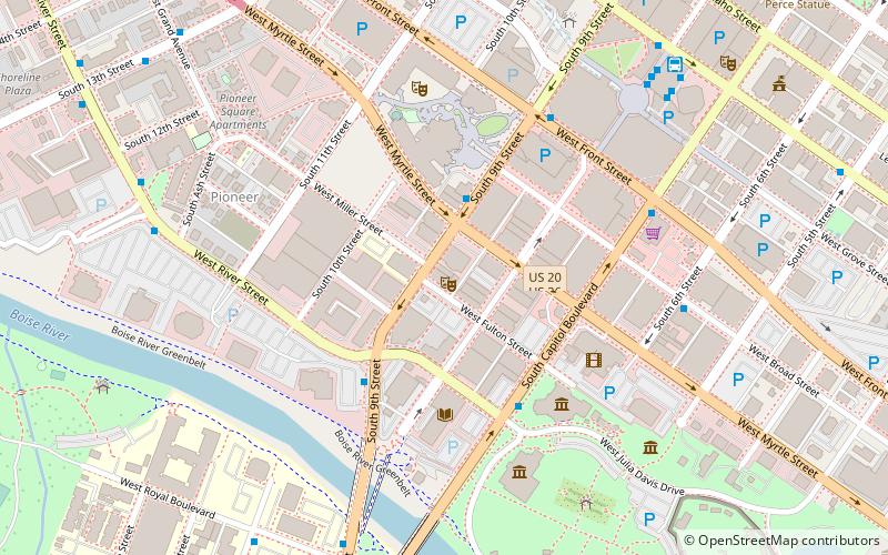
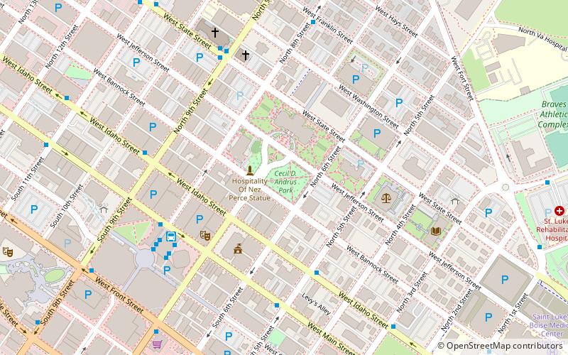
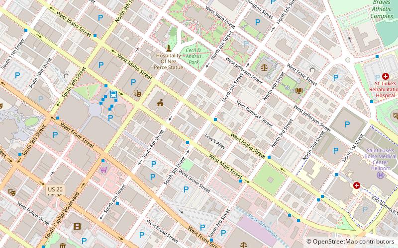
The Boise Historic District in Boise, Idaho, includes late 19th century and early 20th century buildings constructed of brick, sandstone, or wood in an area roughly bounded by Capitol Boulevard, North 5th Street, West Main Street, and West Idaho Street. The district is located within an area known as Old Boise, and contributing properties were constructed 1879–1920. ()
Coordinates: 43°36'52"N, 116°11'59"W
Address
Downtown Boise CityBoise
ContactAdd
Social media
Add
Day trips
Boise Historic District – popular in the area (distance from the attraction)
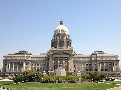
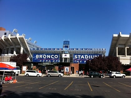
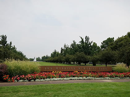
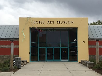
Nearby attractions include: Idaho State Capitol, Albertsons_Stadium, Ann Morrison Park, Boise Art Museum.
Frequently Asked Questions (FAQ)
Which popular attractions are close to Boise Historic District?
Nearby attractions include Belgravia Building, Boise (2 min walk), The Egyptian Theatre, Boise (2 min walk), C. W. Moore Park, Boise (3 min walk), Union Block and Montandon Buildings, Boise (4 min walk).
How to get to Boise Historic District by public transport?
The nearest stations to Boise Historic District:
Bus
Bus
- West Main Street & South 5th Street SWC • Lines: 2 (2 min walk)
- Main Street Station (5 min walk)

