Weber Spur Trail, Chicago
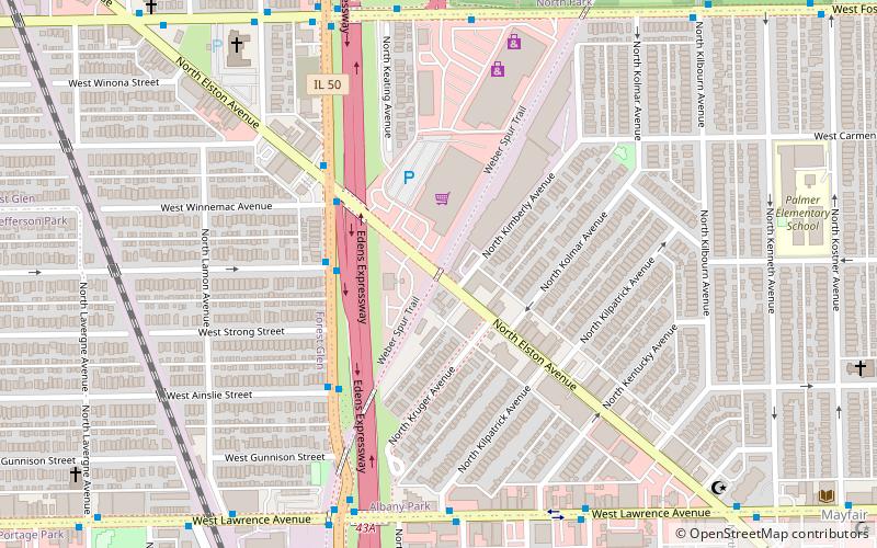
Map
Facts and practical information
The Weber Spur Trail is a proposed Rails to Trails project aiming to create a multi-use trail on the far north side of Chicago. The trail started as a subsidiary railway line created by the Chicago And North Western Railway company known as the Weber Subdivision. If the City of Chicago is successful in negotiating with Union Pacific Railroad for the right-of-way needed for the trail, then the Weber Spur Trail would connect the North Branch Trail to the Union Pacific Recreation Path in Lincolnwood, Illinois. ()
Coordinates: 41°58'18"N, 87°44'45"W
Address
Far North Side (Albany Park)Chicago
ContactAdd
Social media
Add
Getting there by public transportation
Public transportation stops near this location
- Metro
- Bus
- Train
 Metro
Metro
- Calculate routeCicero & Argyle NB 3 min walk
- Calculate routeForest Glen 18 min walk
- Calculate routeMayfair 20 min walk
- Calculate routeJefferson Park 22 min walk
- Calculate routeMontrose 18 min walk
- Calculate routeJefferson Park 20 min walk
Maps Rail "L"
Rail "L"Day trips


Frequently Asked Questions (FAQ)
Which popular attractions are close to Weber Spur Trail?
Nearby attractions include Copernicus Center, Chicago (18 min walk), St. Edward's Parish, Chicago (19 min walk), Jefferson Park, Chicago (22 min walk), Ed Paschke Art Center, Chicago (23 min walk).
How to get to Weber Spur Trail by public transport?
The nearest stations to Weber Spur Trail:
Bus
Train
Metro
Bus
- Cicero & Argyle NB • Lines: 54A (3 min walk)
Train
- Forest Glen (18 min walk)
- Mayfair (20 min walk)
Metro
- Montrose • Lines: Blue (18 min walk)
- Jefferson Park • Lines: Blue (20 min walk)