St. Edward's Parish, Chicago

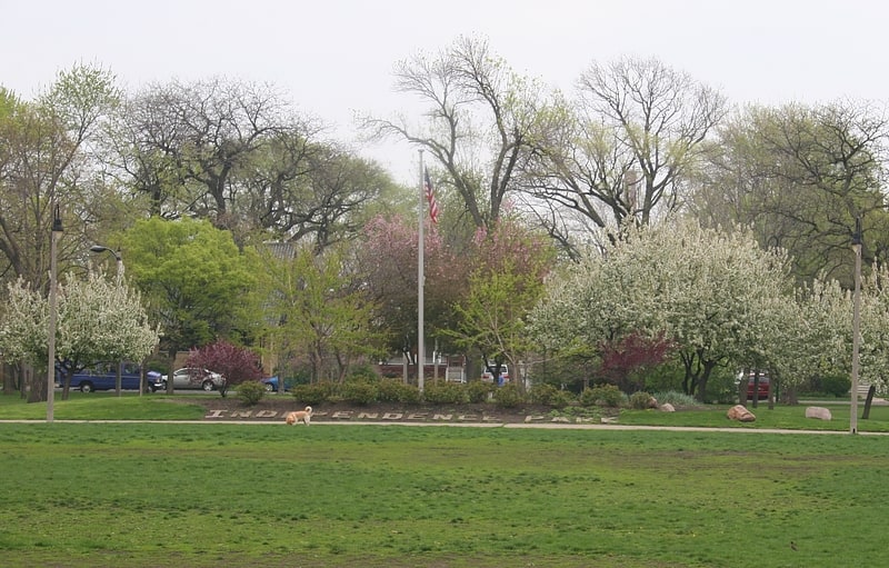
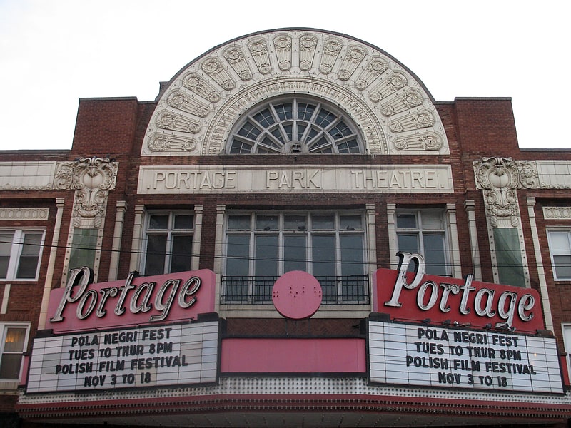
Gallery (1)
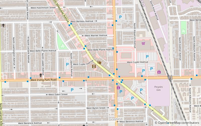
Map
Map
Facts and practical information
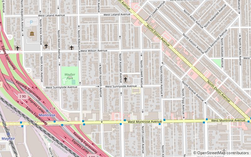
St. Edward's Parish is a Roman Catholic church, rectory, convent and coeducational grammar school located on the northwest side of Chicago founded in 1899. It is within the Roman Catholic Archdiocese of Chicago. ()
Coordinates: 41°57'47"N, 87°44'17"W
Address
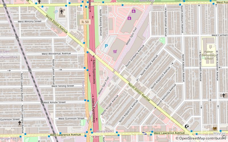
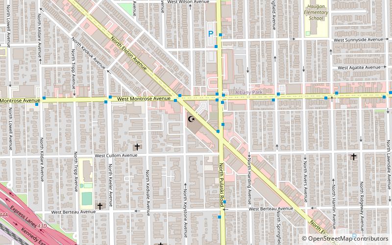
4350-4356 West Sunnyside AvenueNorthwest Side (Irving Park)Chicago
ContactAdd
Social media
Add
Getting there by public transportation
Public transportation stops near this location
- Metro
- Bus
- Train
 Metro
Metro
- Calculate routeMontrose & Kostner WB 4 min walk
- Calculate routeMontrose 8 min walk
- Calculate routeIrving Park 23 min walk
- Calculate routeJefferson Park 33 min walk
- Calculate routeMayfair 12 min walk
- Calculate routeIrving Park 21 min walk
- Calculate routeGrayland 26 min walk
- Calculate routeForest Glen 36 min walk
Maps Rail "L"
Rail "L"Day trips


Frequently Asked Questions (FAQ)
Which popular attractions are close to St. Edward's Parish?
Nearby attractions include Muslim Community Center, Chicago (14 min walk), Ropp-Grabill House, Chicago (14 min walk), Six Corners, Chicago (21 min walk), National Veterans Art Museum, Chicago (21 min walk).
How to get to St. Edward's Parish by public transport?
The nearest stations to St. Edward's Parish:
Bus
Metro
Train
Bus
- Montrose & Kostner WB • Lines: 78 (4 min walk)
Metro
- Montrose • Lines: Blue (8 min walk)
- Irving Park • Lines: Blue (23 min walk)
Train
- Mayfair (12 min walk)
- Irving Park (21 min walk)