Delmar Loop–Parkview Gardens Historic District, St. Louis
Map

Map

Facts and practical information
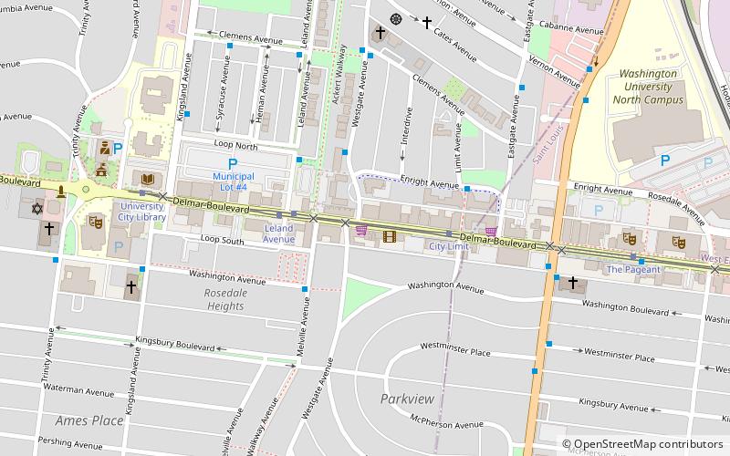
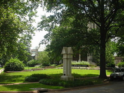
The Delmar Loop-Parkview Gardens Historic District is a historic district in University City, Missouri and St. Louis, Missouri. It is roughly bounded by Kingsland Ave. North Dr. Delmar Blvd. and Eastgate. It was listed on the National Register of Historic Places in 1984. The listing included 289 contributing buildings. ()
Coordinates: 38°39'21"N, 90°18'15"W
Address
University CitySt. Louis
ContactAdd
Social media
Add
Day trips
Delmar Loop–Parkview Gardens Historic District – popular in the area (distance from the attraction)
Nearby attractions include: Forest Park, The Pageant, Saint Louis Art Museum, Apotheosis of St. Louis.
Frequently Asked Questions (FAQ)
Which popular attractions are close to Delmar Loop–Parkview Gardens Historic District?
Nearby attractions include Delmar Loop, St. Louis (2 min walk), University City Public Library, St. Louis (8 min walk), City Hall, St. Louis (9 min walk), Crow Observatory, St. Louis (13 min walk).
How to get to Delmar Loop–Parkview Gardens Historic District by public transport?
The nearest stations to Delmar Loop–Parkview Gardens Historic District:
Bus
Tram
Light rail
Bus
- Enright at Westgate WB • Lines: 5 (3 min walk)
- Washington at Melville EB • Lines: 5 (3 min walk)
Tram
- Leland Avenue • Lines: Loop Trolley (3 min walk)
- City Limit • Lines: Loop Trolley (3 min walk)
Light rail
- Skinker • Lines: Blue (13 min walk)
- Delmar Loop • Lines: Red (14 min walk)


