Atkinson Avenue Historic District, Detroit
Map

Gallery

Facts and practical information
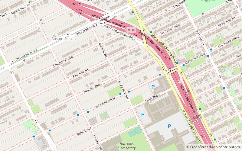
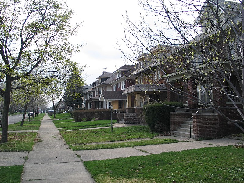
Atkinson Avenue is an east/west street located in the geographic heart of the city of Detroit, Michigan. The historic district had 225 houses in 2010. ()
Coordinates: 42°22'46"N, 83°5'38"W
Address
Boston Edison WestDetroit
ContactAdd
Social media
Add
Day trips
Atkinson Avenue Historic District – popular in the area (distance from the attraction)
Nearby attractions include: Motown Museum, Fisher Building, Kunsthalle Detroit, Cathedral of the Most Blessed Sacrament.
Frequently Asked Questions (FAQ)
Which popular attractions are close to Atkinson Avenue Historic District?
Nearby attractions include Boston–Edison Historic District, Detroit (7 min walk), Central Woodward Christian Church, Detroit (17 min walk), Bethel Community Transformation Center, Detroit (17 min walk), North Woodward Congregational Church, Detroit (19 min walk).
How to get to Atkinson Avenue Historic District by public transport?
The nearest stations to Atkinson Avenue Historic District:
Bus
Tram
Train
Bus
- Clairmount / Byron • Lines: 11 (2 min walk)
- Clairmount / Lodge • Lines: 11, 23 (5 min walk)
Tram
- Grand Boulevard • Lines: QLine (31 min walk)
- Baltimore Street • Lines: QLine (34 min walk)
Train
- Detroit (35 min walk)


