Local Lounge, Portland
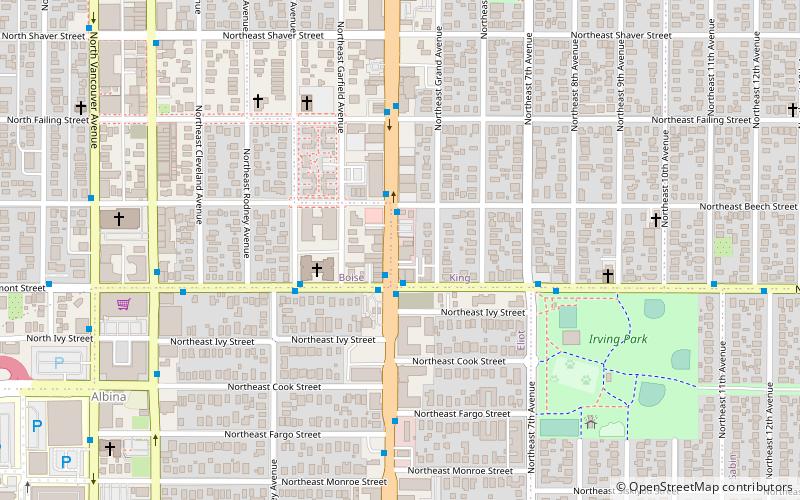
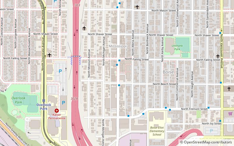
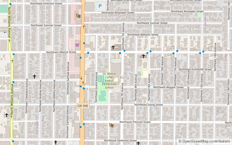
Map

Map

Facts and practical information
Local Lounge was a gay bar in Portland, Oregon, operating from 2010 to 2021. ()
Coordinates: 45°32'56"N, 122°39'41"W
Day trips
Local Lounge – popular in the area (distance from the attraction)
Nearby attractions include: Mississippi Studios, Lloyd Center, Moda Center, Veterans Memorial Coliseum.
Frequently Asked Questions (FAQ)
Which popular attractions are close to Local Lounge?
Nearby attractions include Irving Park, Portland (7 min walk), Klickitat Street, Portland (9 min walk), Vancouver Avenue First Baptist Church, Portland (10 min walk), Dawson Park, Portland (11 min walk).
How to get to Local Lounge by public transport?
The nearest stations to Local Lounge:
Bus
Light rail
Tram
Bus
- Northeast Martin Luther King & Fremont • Lines: 6 (1 min walk)
- Northeast Fremont & Martin Luther King • Lines: 24 (2 min walk)
Light rail
- Albina/Mississippi • Lines: Yellow (24 min walk)
- Overlook Park • Lines: Yellow (25 min walk)
Tram
- Northeast Broadway & 2nd • Lines: B (25 min walk)
- Northeast Weidler & Grand • Lines: A (26 min walk)


