Siegfried Pyre, Grand Canyon National Park
Map

Map

Facts and practical information
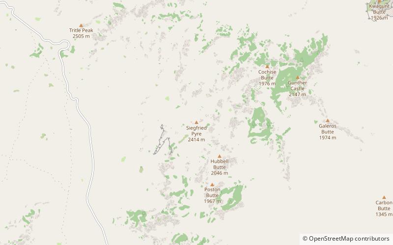
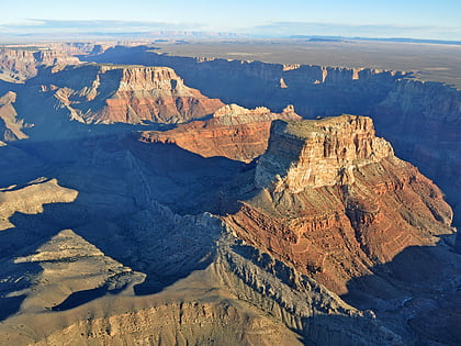
Siegfried Pyre is a 7,922-foot -elevation summit located in the eastern Grand Canyon, in Coconino County of northern Arizona, United States. It is situated adjacent to the eastern North Rim, specifically, to the east face of the Walhalla Plateau. It is southeast of Atoko Point and northeast of Naji Point. One of its nearest neighbors is Mount Hayden, as well as Brady Peak. ()
Coordinates: 36°11'48"N, 111°54'29"W
Address
Grand Canyon National Park
ContactAdd
Social media
Add
Day trips
Siegfried Pyre – popular in the area (distance from the attraction)
Nearby attractions include: Brady Peak, Kwagunt Butte, Chuar Butte, Jupiter Temple.
Frequently Asked Questions (FAQ)
Which popular attractions are close to Siegfried Pyre?
Nearby attractions include Hubbell Butte, Grand Canyon National Park (21 min walk), Butchart Butte, Grand Canyon National Park (21 min walk).


