Mesta Park, Oklahoma City
Map
Facts and practical information
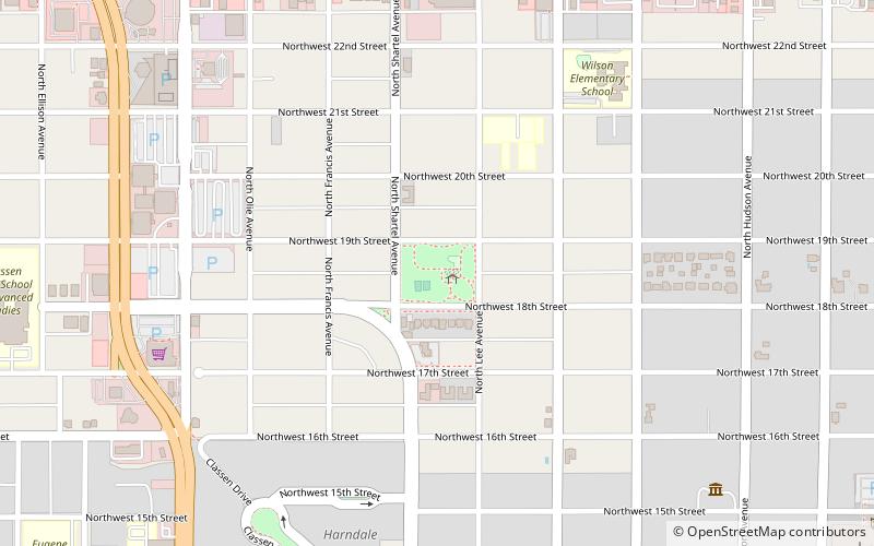
Mesta Park is a residential neighborhood in Oklahoma City, Oklahoma which is also listed as a historic district on the National Register of Historic Places. The listing is roughly bounded by NW 16th and 23rd Sts. and Western and Walker Avenues. It was listed on the National Register in 1983 and then included 522 contributing buildings and one contributing site on 165 acres. ()
Coordinates: 35°29'19"N, 97°31'30"W
Address
Central Oklahoma City (Mesta Park)Oklahoma City
ContactAdd
Social media
Add
Getting there by public transportation
Public transportation stops near this location
- Bus
- Tram
 Bus
Bus
- Calculate routeDewey Avenue 17 min walk
- Calculate routeNorth Hudson 18 min walk
- Calculate routeMidtown 21 min walk
- Calculate routeArt Park 22 min walk
- Calculate routeThe Central Oklahoma Transportation and Parking Authority City Bus Terminal 30 min walk
Day trips


Frequently Asked Questions (FAQ)
Which popular attractions are close to Mesta Park?
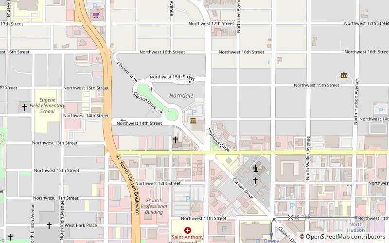
Nearby attractions include Gaylord-Pickens Oklahoma Heritage Museum, Oklahoma City (10 min walk), City Presbyterian Church, Oklahoma City (10 min walk), Overholser Mansion, Oklahoma City (10 min walk), The Classen, Oklahoma City (11 min walk).
How to get to Mesta Park by public transport?
The nearest stations to Mesta Park:
Tram
Bus
Tram
- Dewey Avenue • Lines: OKC Streetcar Downtown Loop (17 min walk)
- North Hudson • Lines: OKC Streetcar Downtown Loop (18 min walk)
Bus
- The Central Oklahoma Transportation and Parking Authority City Bus Terminal (30 min walk)