Wabash Tunnel, Pittsburgh
Map

Gallery

Facts and practical information
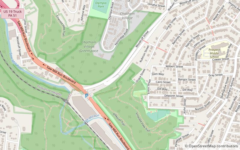
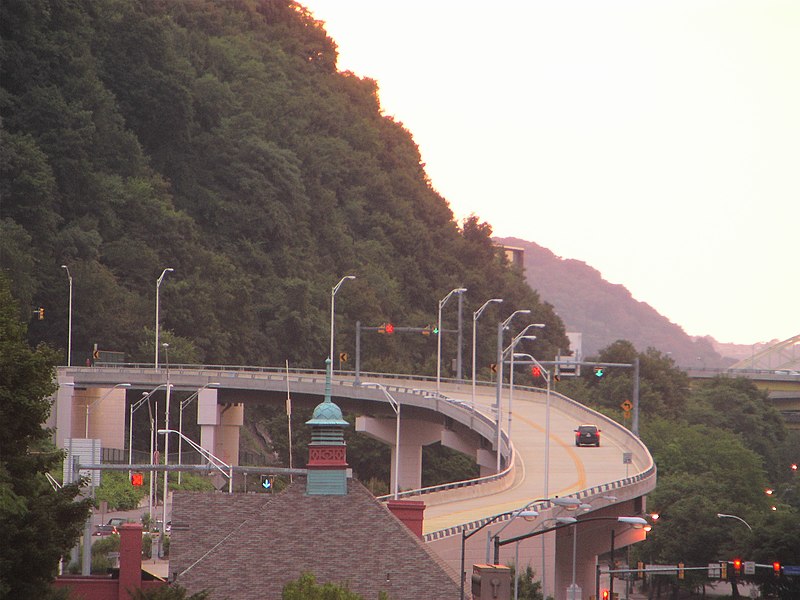
The Wabash Tunnel is a former railway tunnel and presently an automobile tunnel through Mt. Washington in the city of Pittsburgh, Pennsylvania, United States. Constructed early in the 20th century by railroad magnate George J. Gould for the Wabash Railroad, it was closed to trains and cars between 1946 and 2004. ()
Coordinates: 40°25'36"N, 80°1'2"W
Address
South Side (Mount Washington)Pittsburgh
ContactAdd
Social media
Add
Day trips
Wabash Tunnel – popular in the area (distance from the attraction)
Nearby attractions include: Highmark Stadium, Point of View Sculpture, Fort Pitt Museum, Fort Pitt Bridge.
Frequently Asked Questions (FAQ)
Which popular attractions are close to Wabash Tunnel?
Nearby attractions include Chatham Village, Pittsburgh (6 min walk), Mount Washington, Pittsburgh (9 min walk), Prospect Middle School, Pittsburgh (12 min walk), Fort Pitt Tunnel, Pittsburgh (14 min walk).
How to get to Wabash Tunnel by public transport?
The nearest stations to Wabash Tunnel:
Bus
Light rail
Bus
- Virginia Ave at Shop n Save • Lines: 40 (14 min walk)
- Boggs Avenue at Soffel St • Lines: 43 (15 min walk)
Light rail
- South Hills Junction • Lines: Blue, Red, Silver (17 min walk)
- Palm Garden • Lines: Red (20 min walk)


