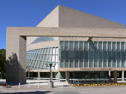
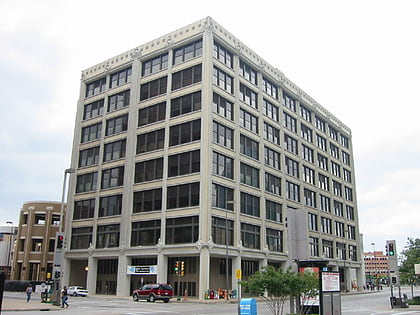
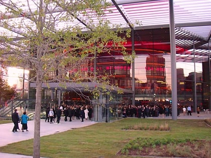
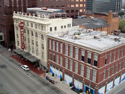
Dallas Downtown Historic District, Dallas
Map
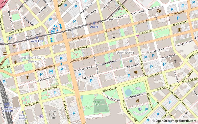
Map

Facts and practical information
The Dallas Downtown Historic District is a 90.8-acre area in downtown Dallas, Texas, United States that was designated a historic district in 2006 to preserve the diverse architectural history of the area. ()
Area: 90.8 acres (0.1419 mi²)Coordinates: 32°46'45"N, 96°48'1"W
Address
Downtown Dallas (Government District)Dallas
ContactAdd
Social media
Add
Day trips
Dallas Downtown Historic District – popular in the area (distance from the attraction)
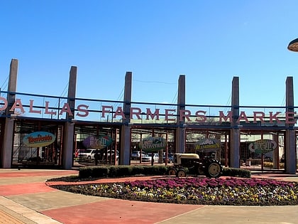
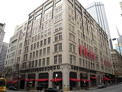
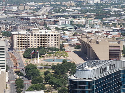
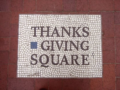
Nearby attractions include: Dallas Farmers Market, Neiman Marcus, Dallas City Hall, Thanks-Giving Square.
Frequently Asked Questions (FAQ)
Which popular attractions are close to Dallas Downtown Historic District?
Nearby attractions include Santa Fe Terminal Complex, Dallas (2 min walk), Belo Garden Park, Dallas (3 min walk), Pegasus Plaza, Dallas (4 min walk), One Main Place, Dallas (4 min walk).
How to get to Dallas Downtown Historic District by public transport?
The nearest stations to Dallas Downtown Historic District:
Light rail
Bus
Tram
Train
Light rail
- Akard • Lines: Blue, Green, Orange, Red (6 min walk)
- West End • Lines: Blue, Green, Orange, Red (9 min walk)
Bus
- Greyhound (7 min walk)
- D • Lines: 110, 111, 205, 210 (7 min walk)
Tram
- Saint Paul & Federal • Lines: 825 (10 min walk)
- Federal & Harwood • Lines: 825 (12 min walk)
Train
- Convention Center (12 min walk)
- Dallas Union Station (14 min walk)

