Keystone Oaks School District, Pittsburgh
Map
Facts and practical information
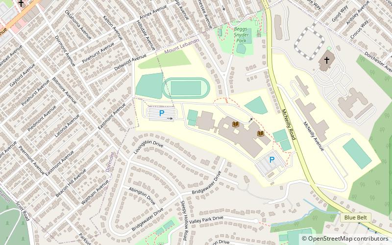
Keystone Oaks School District is a small, public school district in suburban Pittsburgh, Pennsylvania. The district consists of 3 non-contiguous communities and encompasses approximately 5 square miles. It was formed in 1965 after the merger of three smaller districts serving Dormont, Castle Shannon, and Green Tree. The district's name refers to a "key" to a door for Dormont, a "stone" in a castle for Castle Shannon and the "oaks" of Green Tree. ()
Coordinates: 40°23'15"N, 80°1'54"W
Getting there by public transportation
Public transportation stops near this location
- Light rail
 Light rail
- Calculate routeDormont Junction 15 min walk
- Calculate routeMt. Lebanon 18 min walk
- Calculate routePotomac 19 min walk
- Calculate routeStevenson 22 min walk
Day trips


Frequently Asked Questions (FAQ)
Which popular attractions are close to Keystone Oaks School District?
Nearby attractions include Dormont, Pittsburgh (13 min walk), St. Bernard Roman Catholic Church, Mt. Lebanon (16 min walk).
How to get to Keystone Oaks School District by public transport?
The nearest stations to Keystone Oaks School District:
Light rail
Light rail
- Dormont Junction • Lines: Red (15 min walk)
- Mt. Lebanon • Lines: Red (18 min walk)