Brookline, Pittsburgh

Gallery (1)
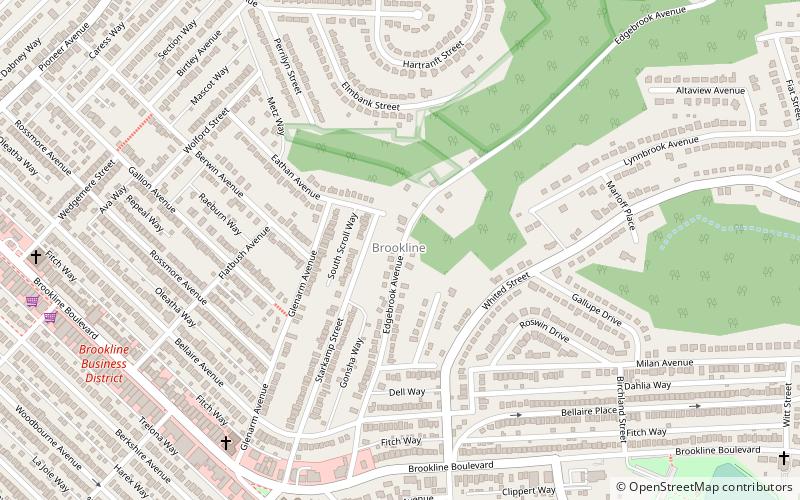
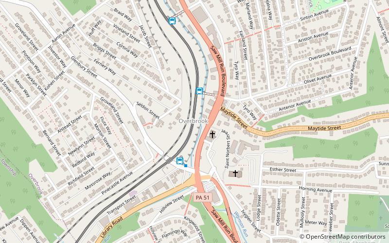
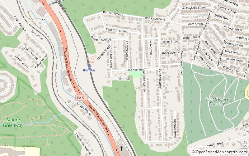
Map
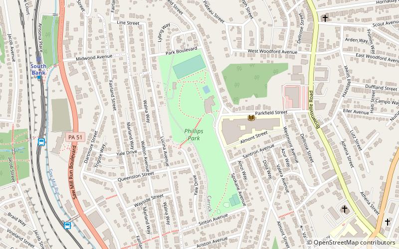
Map
Facts and practical information
Brookline is a neighborhood in the South Hills of Pittsburgh, Pennsylvania, United States. It takes its name from the city in Massachusetts, which early settlers felt bore a resemblance to the area. ()
Area: 2.08 mi²Coordinates: 40°23'45"N, 80°0'51"W
Address
South Side (Brookline)Pittsburgh
ContactAdd
Social media
Add
Getting there by public transportation
Public transportation stops near this location
- Bus
- Light rail
 Bus
Bus
- Calculate routeWhited 20 min walk
- Calculate routeEdgebrook 21 min walk
- Calculate routeSouth Bank 22 min walk
- Calculate routeCentral 24 min walk
- Calculate routeDenise 22 min walk
- Calculate routeSouth Bank 22 min walk
- Calculate routeShiras 26 min walk
- Calculate routeBon Air 27 min walk
Day trips


Frequently Asked Questions (FAQ)
How to get to Brookline by public transport?
The nearest stations to Brookline:
Bus
Light rail
Bus
- Whited (20 min walk)
- Edgebrook (21 min walk)
Light rail
- Denise • Lines: Blue, Silver (22 min walk)
- South Bank • Lines: Blue, Silver (22 min walk)