Division Street Historic District, Fairfield
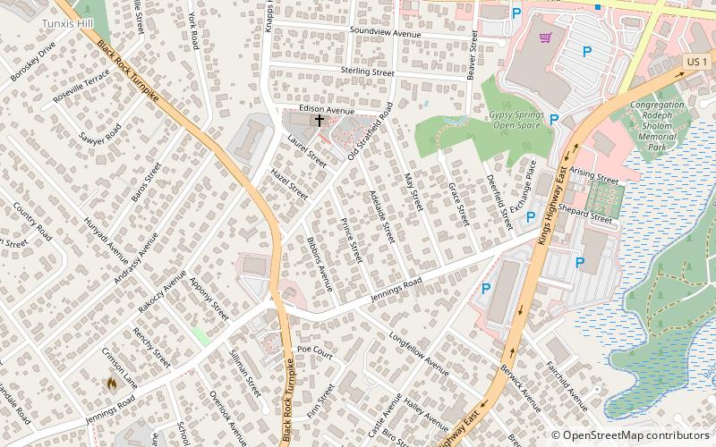
Map
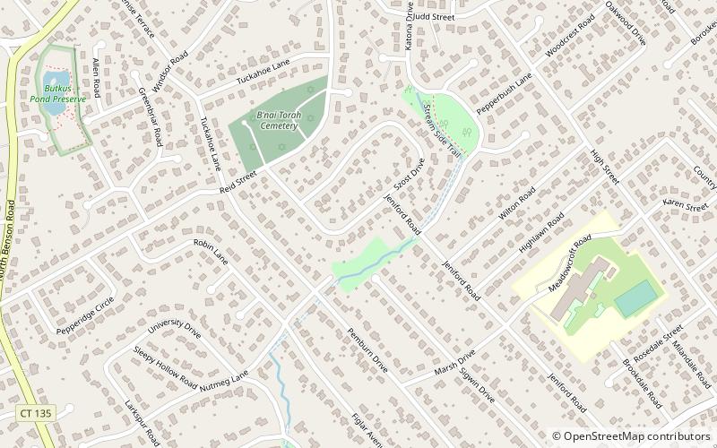
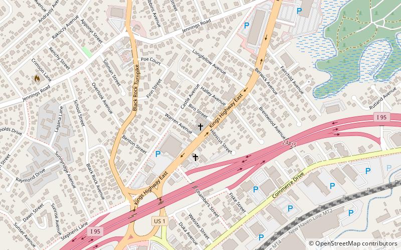
Map

Facts and practical information
The Division Street Historic District encompasses one of the best-preserved 19th-century residential areas of Bridgeport, Connecticut. Now separated from downtown Bridgeport by the Connecticut Route 25 highway, the area includes a cross-section of 19th-century architectural styles, as well as a diversity of sophistication, from working-class accommodations to high-style Victorian mansions. The district was listed on the National Register of Historic Places in 1982. ()
Coordinates: 41°10'19"N, 73°15'0"W
Address
Fairfield
ContactAdd
Social media
Add
Day trips
Division Street Historic District – popular in the area (distance from the attraction)
Nearby attractions include: Brooklawn Country Club, Fairfield University Art Museum, Holy Family Church, St. Emery Church.
Frequently Asked Questions (FAQ)
Which popular attractions are close to Division Street Historic District?
Nearby attractions include Fairfield University, Fairfield (19 min walk), Holy Family Church, Fairfield (22 min walk), Former Norwalk City Hall, Norwalk (23 min walk), DiMenna-Nyselius Library- Fairfield University, Fairfield (24 min walk).
How to get to Division Street Historic District by public transport?
The nearest stations to Division Street Historic District:
Train
Train
- Fairfield Metro (29 min walk)


