Chinatowns in Brooklyn, Sea Gate
Map
Facts and practical information
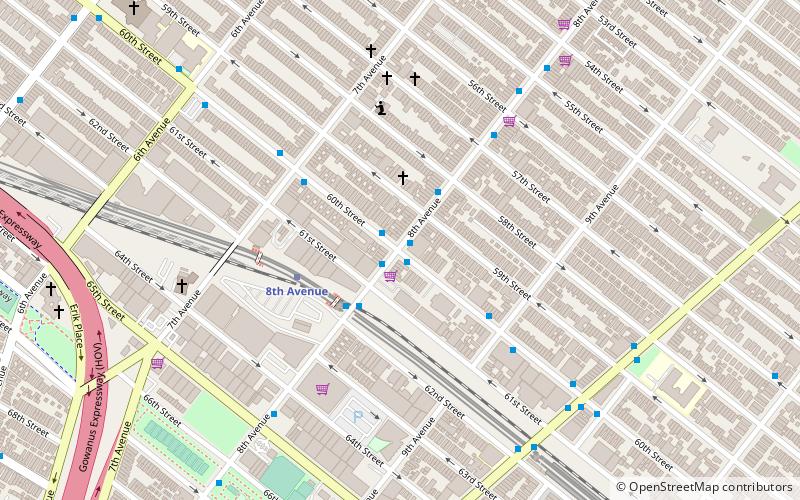
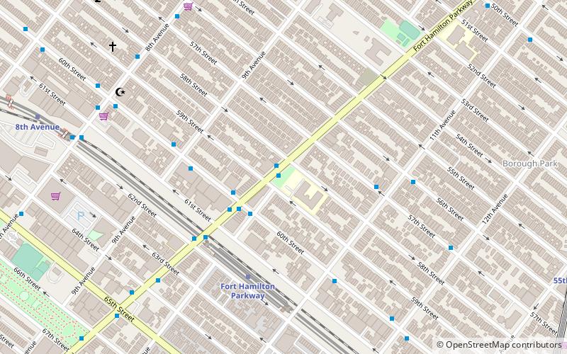
The first Brooklyn Chinatown, was originally established in the Sunset Park area of the New York City borough of Brooklyn. It is one of the largest and fastest growing ethnic Chinese enclaves outside of Asia, as well as within New York City itself. As this Chinatown is rapidly evolving into an enclave predominantly of Fuzhou immigrants from Fujian Province in China, it is now increasingly common to refer to it as the Little Fuzhou or Fuzhou Town of the Western Hemisphere; as well as the largest Fuzhou enclave of New York City. ()
Coordinates: 40°38'8"N, 74°0'34"W
Address
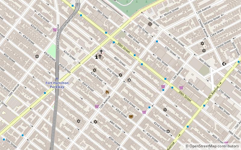
South Brooklyn (Sunset Park)Sea Gate
ContactAdd
Social media
Add
Getting there by public transportation
Public transportation stops near this location
- Metro
 Metro
Metro
- Calculate route8th Avenue 5 min walk
- Calculate routeFort Hamilton Parkway 11 min walk
Day trips


Frequently Asked Questions (FAQ)
Which popular attractions are close to Chinatowns in Brooklyn?
Nearby attractions include Eighth Avenue, Sea Gate (4 min walk), Bocchino-Dente Memorial Plaza, Sea Gate (8 min walk), Basilica of Our Lady of Perpetual Help, New York City (11 min walk), Basilica of Regina Pacis, New York City (18 min walk).
How to get to Chinatowns in Brooklyn by public transport?
The nearest stations to Chinatowns in Brooklyn:
Metro
Metro
- 8th Avenue • Lines: N (5 min walk)
- Fort Hamilton Parkway • Lines: N (11 min walk)