State and Prospect District, Indianapolis

Gallery (1)
Map
Map
Facts and practical information
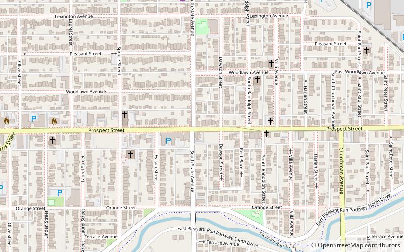
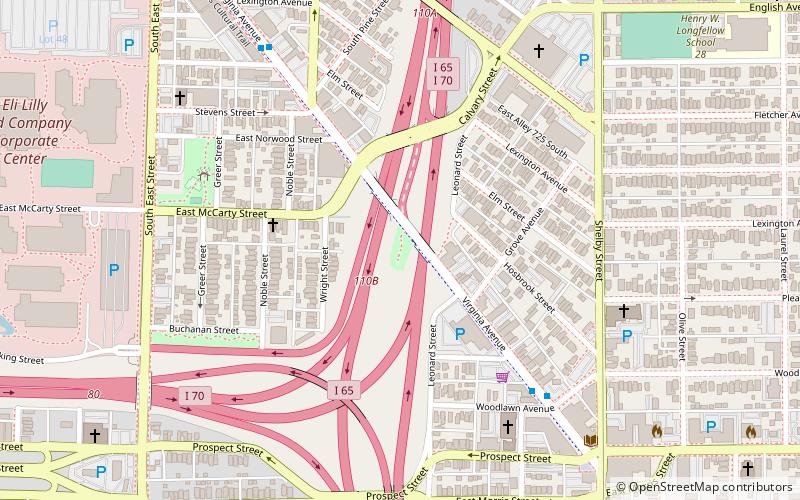
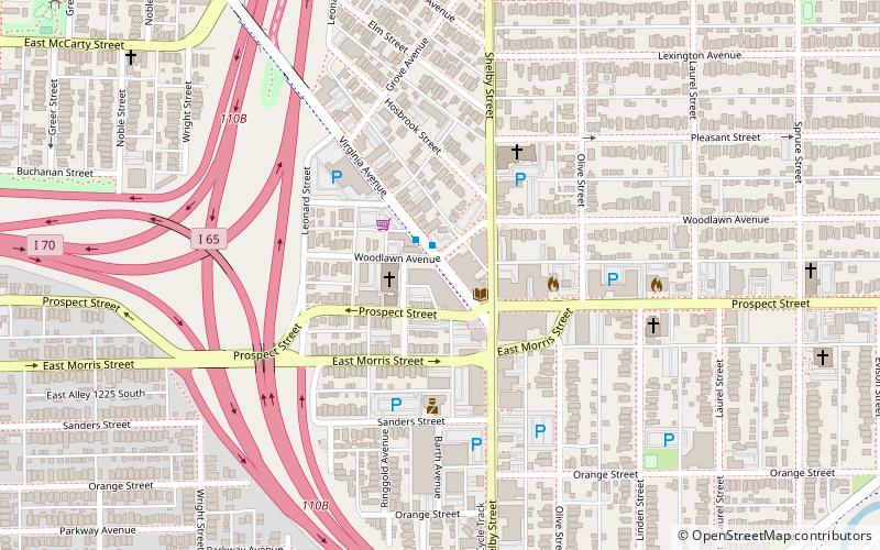
State and Prospect District is a national historic district located at Indianapolis, Indiana. The district encompasses eight contributing buildings and one contributing object in the Fountain Square Commercial Areas of Indianapolis. It developed between about 1871 and 1932, and notable buildings include the Mitschrich / Schaefer Feed Store, Sommer / Roempke Bakery, and Lorber's Saloon. ()
Coordinates: 39°45'9"N, 86°7'49"W
Address
South Side (Near Southeast)Indianapolis
ContactAdd
Social media
Add
Day trips


Frequently Asked Questions (FAQ)
Which popular attractions are close to State and Prospect District?
Nearby attractions include Laurel and Prospect District, Indianapolis (7 min walk), Arthur's Music Store, Indianapolis (13 min walk), Virginia Avenue District, Indianapolis (14 min walk), Indianapolis Museum of Contemporary Art, Indianapolis (15 min walk).