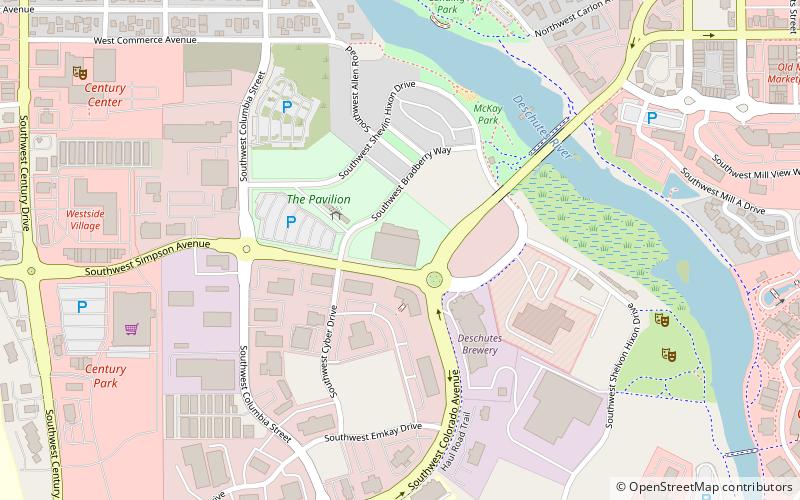
Simpson Pavilion, Bend
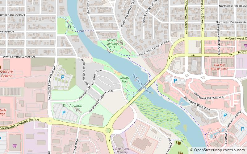
Map
Facts and practical information
Simpson Pavilion, or Bend Simpson Pavilion, is a sports pavilion in Bend, Oregon, United States. Plans were unveiled in late 2013, and construction began in late 2014. The project includes a $11.3 million ice rink, and courts for basketball, tennis, and volleyball, among other sports. ()
Coordinates: 44°2'53"N, 121°19'26"W
Address
River WestBend
ContactAdd
Social media
Add
Getting there by public transportation
Public transportation stops near this location
- Bus
 Bus
Bus
- Calculate routeBend/Lapine School District 25 min walk
- Calculate routeHawthorne Station 34 min walk
Day trips


Frequently Asked Questions (FAQ)
Which popular attractions are close to Simpson Pavilion?
Nearby attractions include McKay Park, Bend (5 min walk), Bend Whitewater Park, Bend (6 min walk), Miller's Landing Park, Bend (8 min walk), Hayden Homes Amphitheater, Bend (8 min walk).
How to get to Simpson Pavilion by public transport?
The nearest stations to Simpson Pavilion:
Bus
Bus
- Bend/Lapine School District (25 min walk)
- Hawthorne Station (34 min walk)