45 Fremont Street, San Francisco
Gallery (1)
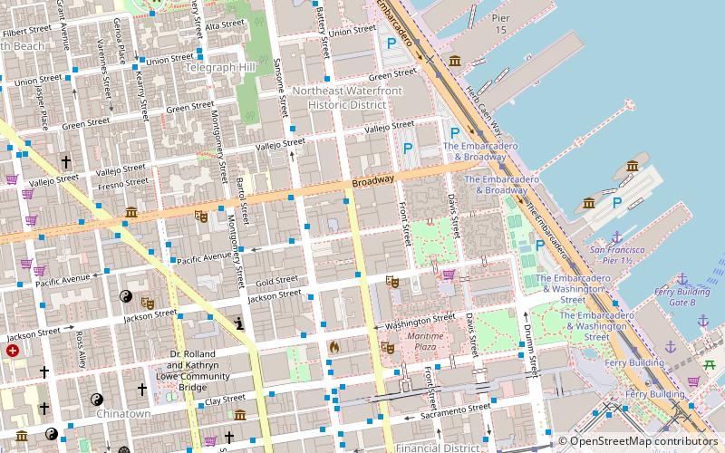
Map
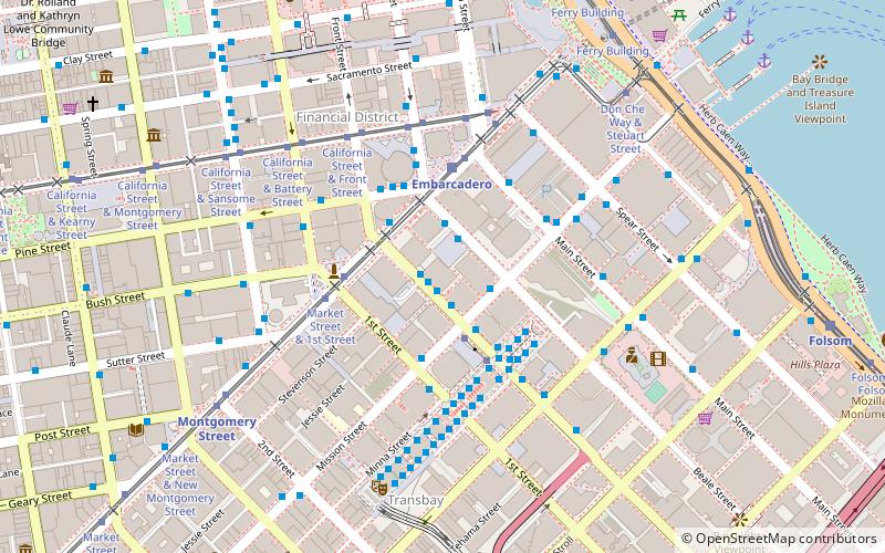
Map
Facts and practical information
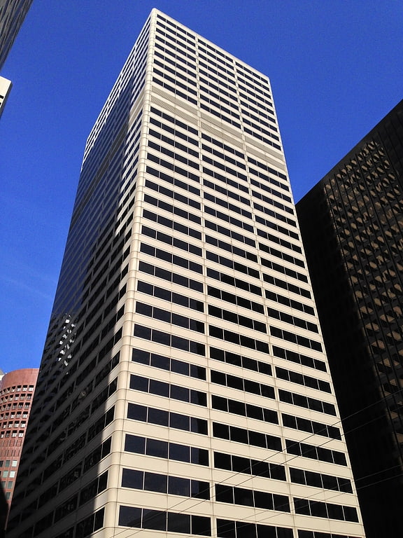
45 Fremont Street is a 34-story, 476 ft office skyscraper in the Financial District of San Francisco, California between Market Street and Mission Street. Completed in 1978, the tower is often referenced as the Bechtel Building because of the spill over of offices from the Bechtel Corporation world headquarters next door at 50 Beale Street. ()
Coordinates: 37°47'28"N, 122°23'50"W
Address
Southeast San Francisco (South Beach)San Francisco
ContactAdd
Social media
Add
Getting there by public transportation
Public transportation stops near this location
- Metro
- Bus
- Trolleybus
- Tram
- Light rail
- Train
- Ferry
 Metro
Metro
- Calculate routeFremont Street & Mission Street 1 min walk
- Calculate routeBeale Street & Mission Street 2 min walk
- Calculate routeMission Street & Beale Street 2 min walk
- Calculate routeMission Street & Fremont Street 2 min walk
- Calculate routeMission Street & Beale Street 2 min walk
- Calculate routeMain Street & Market Street 4 min walk
- Calculate routeMarket Street & Battery Street 3 min walk
- Calculate routeCalifornia Street & Davis Street 5 min walk
- Calculate routeEmbarcadero 3 min walk
- Calculate routeMontgomery Street 8 min walk
- Calculate routeFolsom 12 min walk
- Calculate routeBrannan 18 min walk
- Calculate routeEmbarcadero 3 min walk
- Calculate routeMontgomery Street 8 min walk
- Calculate routePowell Street 19 min walk
- Calculate routeFerry Building Gate G 11 min walk
- Calculate routeSan Francisco 4th & King Street 27 min walk
Maps Muni Metro
Muni MetroDay trips
45 Fremont Street – popular in the area (distance from the attraction)
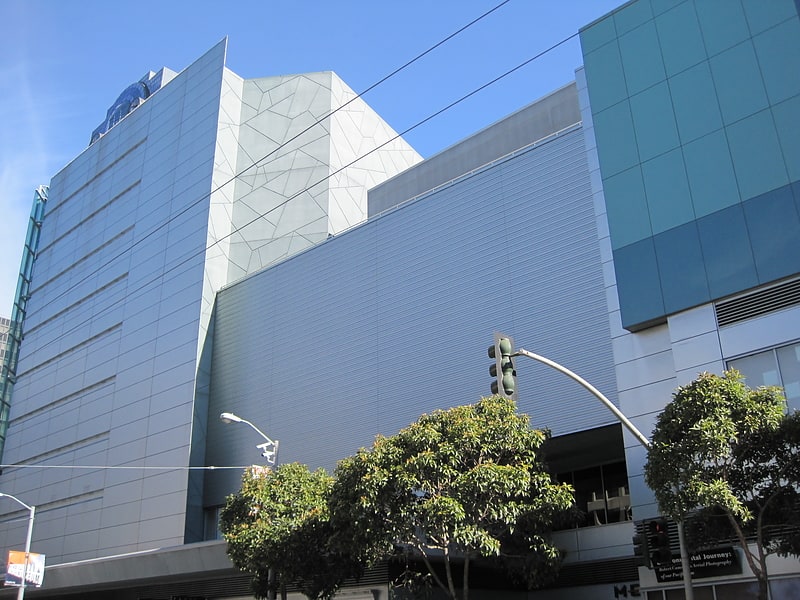
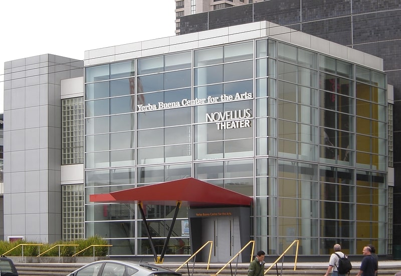
Nearby attractions include: Metreon, Yerba Buena Center for the Arts, Union Square, Old Ship Saloon.


Frequently Asked Questions (FAQ)
Which popular attractions are close to 45 Fremont Street?
Nearby attractions include 425 Market Street, San Francisco (2 min walk), Millennium Tower, San Francisco (3 min walk), Salesforce Tower, San Francisco (3 min walk), Oceanwide Center, San Francisco (3 min walk).
How to get to 45 Fremont Street by public transport?
The nearest stations to 45 Fremont Street:
Bus
Trolleybus
Tram
Light rail
Metro
Ferry
Train
Bus
- Fremont Street & Mission Street • Lines: 2, 25, 27, 38, 38A, 4, 54, 56X, 58, 72, 72X, 74, 76 (1 min walk)
- Beale Street & Mission Street • Lines: 27, 38, 38R, 4, 5, 7 (2 min walk)
Trolleybus
- Mission Street & Beale Street • Lines: 14 (2 min walk)
- Main Street & Market Street • Lines: 14 (4 min walk)
Tram
- Market Street & Battery Street • Lines: F (3 min walk)
- California Street & Davis Street (5 min walk)
Light rail
- Embarcadero • Lines: K, N, S, T (3 min walk)
- Montgomery Street • Lines: K, N, S, T (8 min walk)
Metro
- Embarcadero • Lines: Blue, Green, Red, Yellow (3 min walk)
- Montgomery Street • Lines: Blue, Green, Red, Yellow (8 min walk)
Ferry
- Ferry Building Gate G • Lines: San Francisco Bay Ferry (11 min walk)
Train
- San Francisco 4th & King Street (27 min walk)