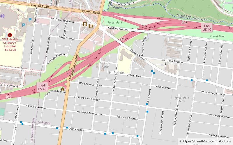
Hi-Pointe, St. Louis
Map

Map

Facts and practical information
Hi-Pointe is a neighborhood of St. Louis, Missouri, within a section known as Dogtown. It is bounded by Clayton Avenue and Oakland Avenue on the north, City Limits on the west, Dale Avenue on the south, and Louisville Avenue on the east. It is bordered by the Skinker-DeBaliviere neighborhood and Forest Park on the north, the Clayton-Tamm neighborhood on the east, the Franz Park neighborhood on the south and the city of Richmond Heights, part of St. Louis County on the west. ()
Coordinates: 38°37'48"N, 90°18'11"W
Day trips
Hi-Pointe – popular in the area (distance from the attraction)
Nearby attractions include: Forest Park, Saint Louis Art Museum, Saint Louis Zoo, Apotheosis of St. Louis.
Frequently Asked Questions (FAQ)
Which popular attractions are close to Hi-Pointe?
Nearby attractions include Franz Park, St. Louis (13 min walk), Clayton/Tamm, St. Louis (15 min walk), Turtle Park, St. Louis (15 min walk), DeMun, St. Louis (15 min walk).
How to get to Hi-Pointe by public transport?
The nearest stations to Hi-Pointe:
Train
Bus
Tram
Train
- River's Edge Station (17 min walk)
- Red Rocks Station (23 min walk)
Bus
- Forsyth at Hoyt WB • Lines: 5 (29 min walk)
- Mallinckrodt Center • Lines: 5 (31 min walk)
Tram
- Missouri History Museum/Forest Park • Lines: Loop Trolley (36 min walk)


