West Unicorn Peak, Mount Rainier National Park
Map
Map

Facts and practical information
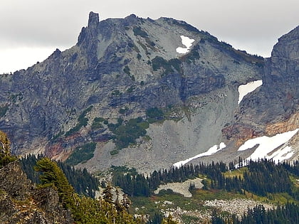
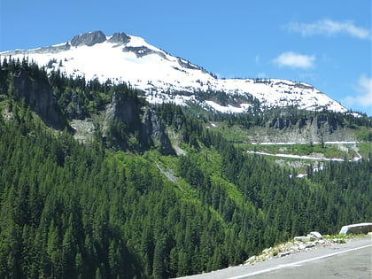
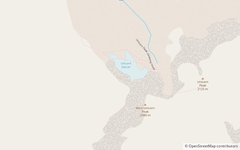
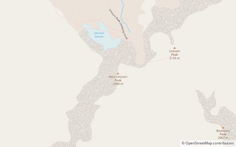
West Unicorn Peak is the second highest point in the Tatoosh Range which is a sub-range of the Cascade Range. It is located south of Mount Rainier within Mount Rainier National Park, in Lewis County of Washington state. The nearest higher peak is Unicorn Peak, 0.17 miles to the east-northeast. Precipitation runoff and meltwater from the peak's small glacier, Unicorn Glacier, drain into tributaries of the Cowlitz River. ()
Coordinates: 46°44'38"N, 121°42'19"W
Address
Mount Rainier National Park
ContactAdd
Social media
Add
Day trips
West Unicorn Peak – popular in the area (distance from the attraction)
Nearby attractions include: Unicorn Peak, Foss Peak, Snow Lake, Unicorn Glacier.
Frequently Asked Questions (FAQ)
Which popular attractions are close to West Unicorn Peak?
Nearby attractions include Unicorn Glacier, Mount Rainier National Park (4 min walk), Unicorn Peak, Mount Rainier National Park (6 min walk), Tatoosh Range, Mount Rainier National Park (7 min walk), Foss Peak, Mount Rainier National Park (22 min walk).

