Unicorn Peak, Mount Rainier National Park
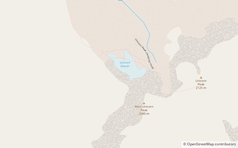
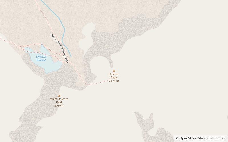
Map
Gallery
Facts and practical information
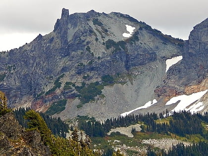
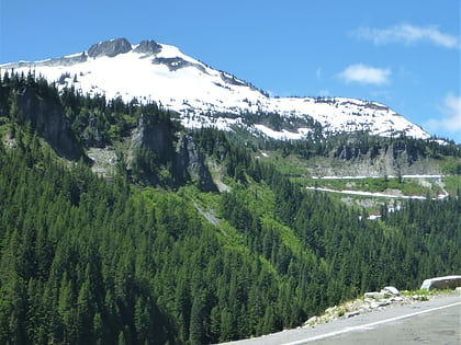
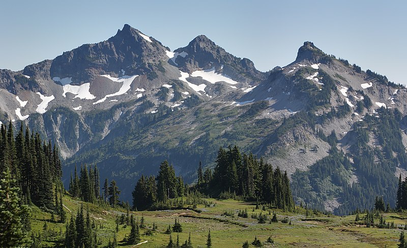
Unicorn Peak is the highest point in the Tatoosh Range which is a sub-range of the Cascade Range. It's located in Mount Rainier National Park, south of Mount Rainier. The descriptive name is for the mountain's resemblance to the head and horn of a unicorn. The name was officially adopted in 1913 by the U.S. Board on Geographic Names. Precipitation runoff from the mountain's small glaciers, such as Unicorn Glacier, drains into tributaries of the Cowlitz River. ()
Coordinates: 46°44'43"N, 121°42'4"W
Address
Mount Rainier National Park
ContactAdd
Social media
Add
Day trips
Unicorn Peak – popular in the area (distance from the attraction)
Nearby attractions include: Foss Peak, Snow Lake, Stevens Peak, West Unicorn Peak.
Frequently Asked Questions (FAQ)
Which popular attractions are close to Unicorn Peak?
Nearby attractions include Tatoosh Range, Mount Rainier National Park (2 min walk), West Unicorn Peak, Mount Rainier National Park (6 min walk), Unicorn Glacier, Mount Rainier National Park (8 min walk), Foss Peak, Mount Rainier National Park (23 min walk).
