Livingston Range
Map
Gallery
Facts and practical information
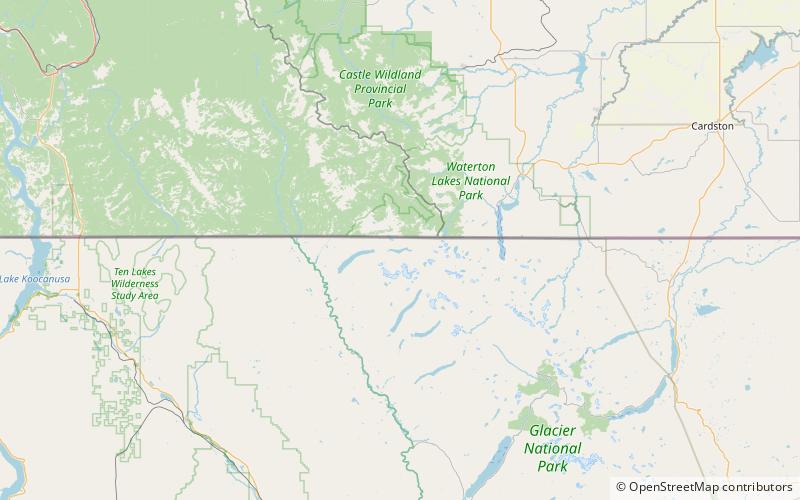
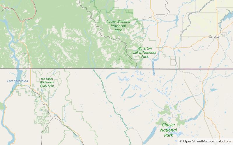
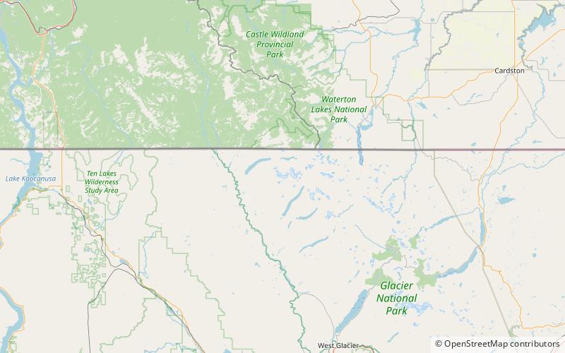
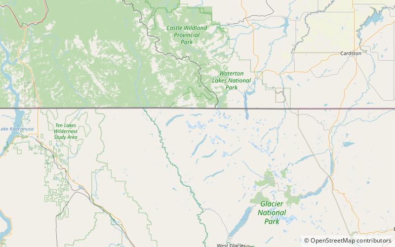
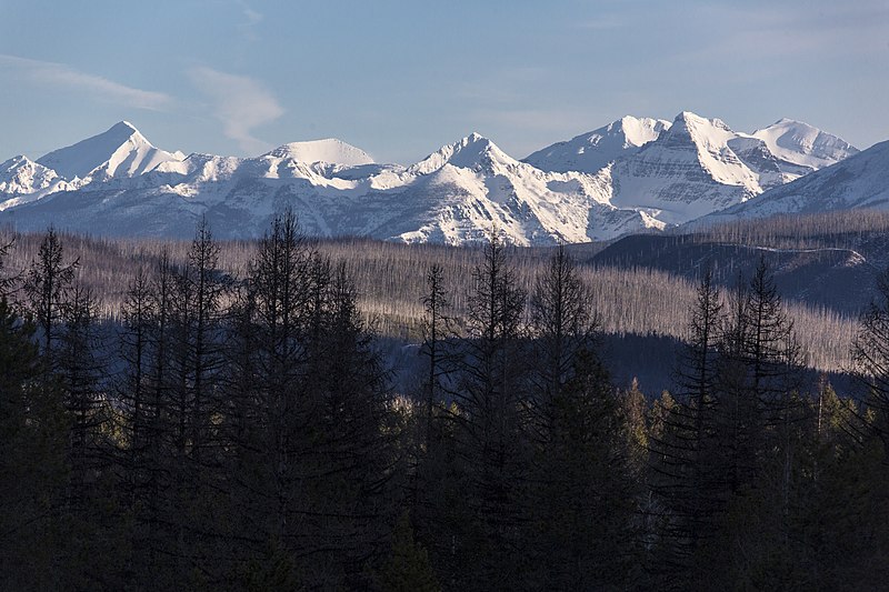
The Livingston Range is a mountain range located primarily in Glacier National Park in the U.S. state of Montana, and in the extreme southeastern section of the Canadian province of British Columbia. The range is 36 miles long and 28 miles wide. Over 15 summits exceed 9,000 ft above sea level, and the highest point is Kintla Peak at 10,101 feet. ()
Coordinates: 48°56'38"N, 114°10'16"W
Location
Montana
ContactAdd
Social media
Add
Day trips
Livingston Range – popular in the area (distance from the attraction)
Nearby attractions include: Bowman Lake, Boulder Peak, Upper Kintla Lake, Boulder Glacier.


