Burnt District, Omaha
Map
Facts and practical information
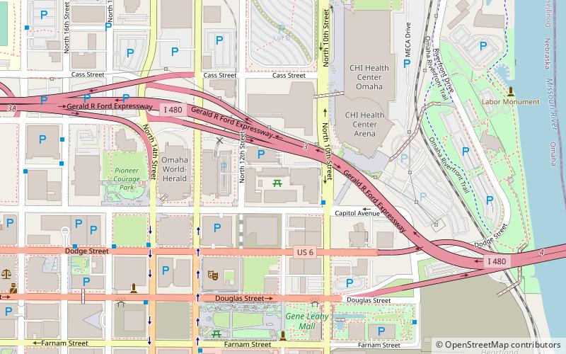
The Burnt District was the original red light district in Omaha, Nebraska in the late 19th century. The area was located east of Creighton University from Douglas Street six blocks north to Cass Street and from the Missouri River west to Sixteenth Street, centered around the area currently containing Pioneer Courage Park. ()
Coordinates: 41°15'41"N, 95°55'50"W
Address
Downtown OmahaOmaha
ContactAdd
Social media
Add
Getting there by public transportation
Public transportation stops near this location
- Bus
- Train
 Bus
Bus
- Calculate route14th & Douglas 8 min walk
- Calculate route16th and Davenport 9 min walk
- Calculate routeOmaha Bus Station 16 min walk
- Calculate route30th & Harrison 24 min walk
- Calculate routeOmaha 21 min walk
Day trips


Frequently Asked Questions (FAQ)
Which popular attractions are close to Burnt District?
Nearby attractions include Omaha Performing Arts, Omaha (5 min walk), Gene Leahy Mall, Omaha (6 min walk), Union Pacific Center, Omaha (8 min walk), Moon Theater, Omaha (8 min walk).
How to get to Burnt District by public transport?
The nearest stations to Burnt District:
Bus
Train
Bus
- 14th & Douglas • Lines: 95 (8 min walk)
- 16th and Davenport • Lines: 95 (9 min walk)
Train
- Omaha (21 min walk)