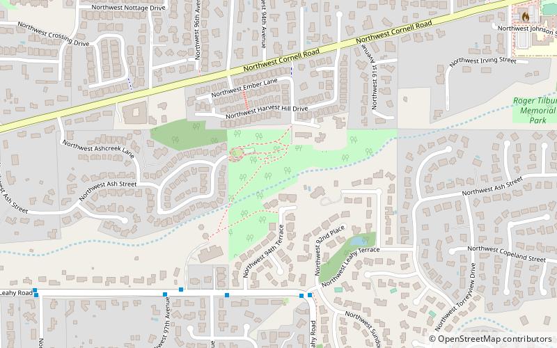
Roger Tilbury Memorial Park, Portland
Map
Facts and practical information
Roger Tilbury Memorial Park is a public park in the Portland, Oregon metropolitan area. ()
Elevation: 518 ft a.s.l.Coordinates: 45°31'33"N, 122°46'24"W
Address
Cedar Hills - Cedar MillPortland
ContactAdd
Social media
Add
Getting there by public transportation
Public transportation stops near this location
- Bus
- Light rail
 Bus
Bus
- Calculate routeNorthwest Leahy & Leahy Terrace 5 min walk
- Calculate routeSunset Transit Center 29 min walk
Day trips


Frequently Asked Questions (FAQ)
How to get to Roger Tilbury Memorial Park by public transport?
The nearest stations to Roger Tilbury Memorial Park:
Bus
Light rail
Bus
- Northwest Leahy & Leahy Terrace • Lines: 50 (5 min walk)
Light rail
- Sunset Transit Center • Lines: Blue, Red (29 min walk)