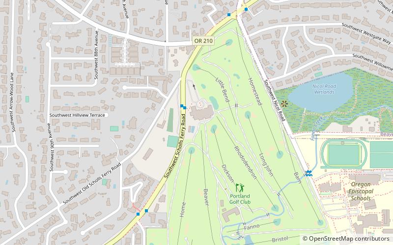
Portland Golf Club, Portland

Map
Facts and practical information
The Portland Golf Club is a private golf club in the northwest United States, in suburban Portland, Oregon. It is located in the unincorporated Raleigh Hills area of eastern Washington County, southwest of downtown Portland and east of Beaverton. ()
Established: 1914 (112 years ago)Coordinates: 45°28'37"N, 122°45'47"W
Day trips
Portland Golf Club – popular in the area (distance from the attraction)
Nearby attractions include: Washington Square, Cedar Hills Crossing, Gabriel Park, 40-Mile Loop.
Frequently Asked Questions (FAQ)
How to get to Portland Golf Club by public transport?
The nearest stations to Portland Golf Club:
Bus
Bus
- 5900 Block Southwest Scholls Ferry • Lines: 56 (2 min walk)
- Southwest Scholls Ferry & 88th • Lines: 56 (9 min walk)


