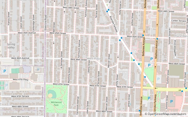
West Plaza, Kansas City
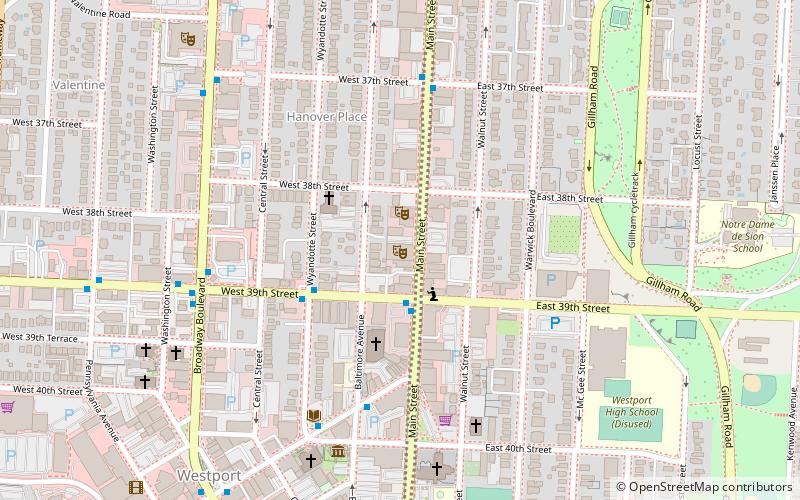
Map
Facts and practical information
West Plaza is a neighborhood in Kansas City, Missouri located just west of the Country Club Plaza district. It is an eclectic urban neighborhood of single-family housing, small apartment buildings, and storefront businesses. ()
Coordinates: 39°2'41"N, 94°36'10"W
Address
Midtown (West Plaza)Kansas City
ContactAdd
Social media
Add
Getting there by public transportation
Public transportation stops near this location
- Bus
 Bus
Bus
- Calculate routeRoanoke at 45th 5 min walk
Day trips


Frequently Asked Questions (FAQ)
Which popular attractions are close to West Plaza?
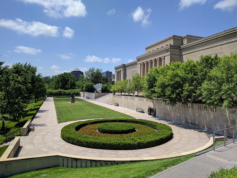
Nearby attractions include Westwood Hills, Kansas City (14 min walk), Country Club Plaza, Kansas City (15 min walk), Hanover Heights Neighborhood Historic District, Kansas City (18 min walk), H.W. Gates Funeral Home, Kansas City (19 min walk).
How to get to West Plaza by public transport?
The nearest stations to West Plaza:
Bus
Bus
- Roanoke at 45th • Lines: 35 (5 min walk)