Beggarstown School, Philadelphia
Map
Facts and practical information
The Beggarstown School, built c. 1740, is a historic school in Beggarstown, Philadelphia, Pennsylvania, now part of the Mount Airy neighborhood. It is a rare example of a colonial era school building. ()
Coordinates: 40°3'5"N, 75°11'6"W
Address
Upper Northwest (East Mount Airy)Philadelphia
ContactAdd
Social media
Add
Getting there by public transportation
Public transportation stops near this location
- Train
 Train
Train
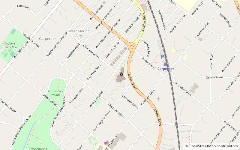
- Calculate routeCarpenter 10 min walk
- Calculate routeAllen Lane 18 min walk
- Calculate routeUpsal 18 min walk
- Calculate routeWashington Lane 18 min walk
Maps SEPTA Regional Rail
SEPTA Regional RailDay trips


Frequently Asked Questions (FAQ)
Which popular attractions are close to Beggarstown School?
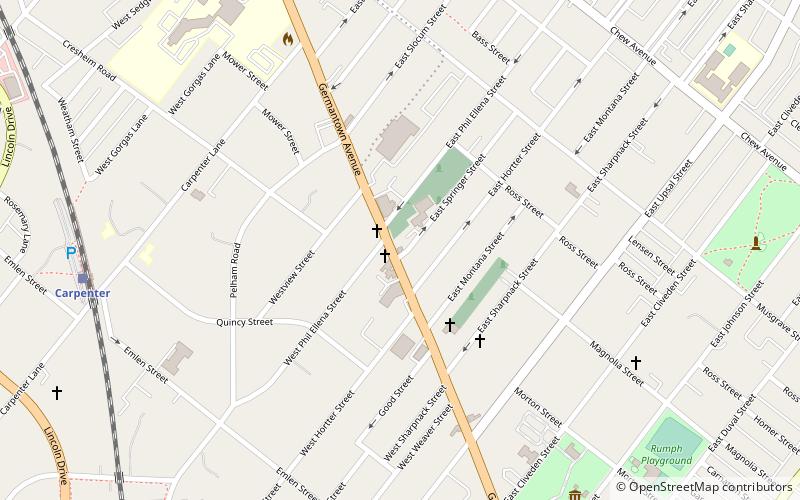
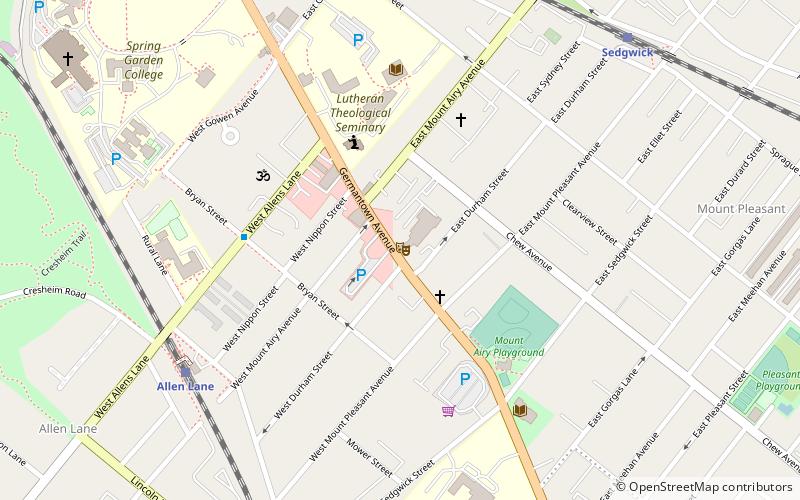
Nearby attractions include St. Michael's Evangelical Lutheran Church, Philadelphia (2 min walk), Cliveden, Philadelphia (9 min walk), Dorshei Derekh, Philadelphia (14 min walk), Upper Burial Ground, Philadelphia (15 min walk).
How to get to Beggarstown School by public transport?
The nearest stations to Beggarstown School:
Train
Train
- Carpenter (10 min walk)
- Allen Lane (18 min walk)