Fayetteville Street Historic District, Raleigh
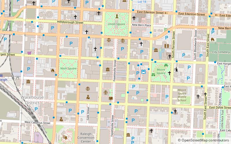
Map
Facts and practical information
The Fayetteville Street Historic District in Raleigh, North Carolina is a historic district listed on the National Register of Historic Places. The District includes the 100-400 blocks of Fayetteville Street, the 00-100 blocks of the south side of West Hargett Street, the 00 block of the north side of West Martin Street, and the 100-400 blocks of South Salisbury Street. ()
Coordinates: 35°46'39"N, 78°38'21"W
Address
Central Raleigh (Downtown Raleigh)Raleigh
ContactAdd
Social media
Add
Getting there by public transportation
Public transportation stops near this location
- Bus
- Train
 Bus
Bus
- Calculate routeE Hargett St at Fayetteville St 2 min walk
- Calculate routeWilmington Street & Hargett Street 2 min walk
- Calculate routeSalisbury St at Martin St 2 min walk
- Calculate routeW Hargett St at S Salisbury St 3 min walk
- Calculate routeRaleigh 13 min walk
Day trips
Fayetteville Street Historic District – popular in the area (distance from the attraction)
Nearby attractions include: North Carolina State Capitol, City Market, Wells Fargo Capitol Center, Marbles Kids Museum.


Frequently Asked Questions (FAQ)
Which popular attractions are close to Fayetteville Street Historic District?
Nearby attractions include City of Raleigh Museum, Raleigh (1 min walk), Briggs Hardware Building, Raleigh (1 min walk), Capital Club Building, Raleigh (2 min walk), PNC Plaza, Raleigh (2 min walk).
How to get to Fayetteville Street Historic District by public transport?
The nearest stations to Fayetteville Street Historic District:
Bus
Train
Bus
- E Hargett St at Fayetteville St • Lines: 13, 8 (2 min walk)
- Wilmington Street & Hargett Street • Lines: 301, 305, Frx, R-Line, Wrx (2 min walk)
Train
- Raleigh (13 min walk)