Capitol Heights Historic District, Raleigh

Gallery (1)
Map
Map
Facts and practical information
Capitol Heights Historic District is a historic post-World War II neighborhood and national historic district located just north of the city of Raleigh, North Carolina. Built between about 1946 and 1949, the district currently encompasses 87 contributing buildings. ()
Coordinates: 35°47'26"N, 78°37'19"W
Address
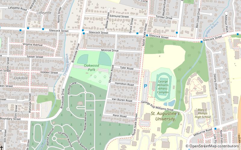
North Central (Oakwood Park)Raleigh
ContactAdd
Social media
Add
Getting there by public transportation
Public transportation stops near this location
- Bus
 Bus
Bus
- Calculate routeGlascock St at State St 5 min walk
- Calculate routeBennett St at Glascock St 8 min walk
Day trips


Frequently Asked Questions (FAQ)
Which popular attractions are close to Capitol Heights Historic District?
Nearby attractions include Oakwood Dog Park, Raleigh (3 min walk), Historic Oakwood Cemetery, Raleigh (8 min walk), Madonna Acres Historic District, Raleigh (11 min walk), Historic Oakwood, Raleigh (11 min walk).
How to get to Capitol Heights Historic District by public transport?
The nearest stations to Capitol Heights Historic District:
Bus
Bus
- Glascock St at State St • Lines: 3 (5 min walk)
- Bennett St at Glascock St • Lines: 3 (8 min walk)