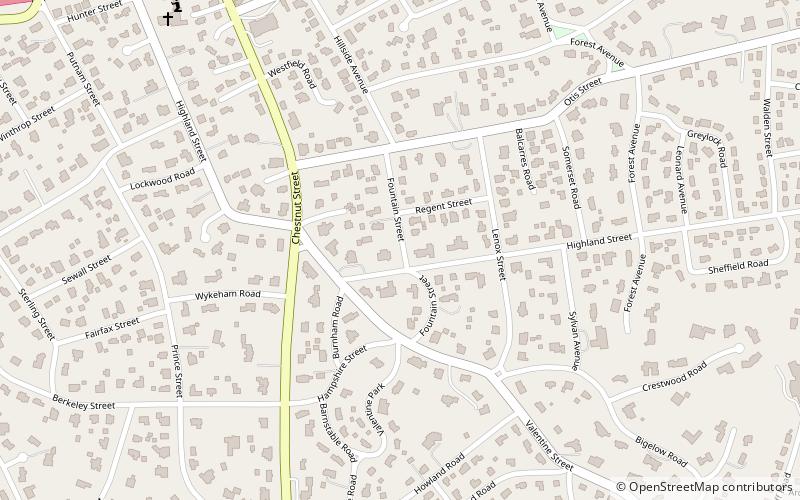
West Newton Hill Historic District, Newton
Map

Map

Facts and practical information
The West Newton Hill NR Historic District is a residential National Register historic district in the village of West Newton, in the city of Newton, Massachusetts in the United States. It is composed of a cohesive collection of spacious houses built in the second half of the 19th century, representing the development of the West Newton area as a fashionable railroad suburb. The district was listed on the National Register of Historic Places in 1986. ()
Coordinates: 42°20'37"N, 71°13'16"W
Address
Newton (West Newton)Newton
ContactAdd
Social media
Add
Day trips
West Newton Hill Historic District – popular in the area (distance from the attraction)
Nearby attractions include: Brae Burn Country Club, Newton City Hall and War Memorial, First Unitarian Universalist Society in Newton, First Church of Christ.
Frequently Asked Questions (FAQ)
Which popular attractions are close to West Newton Hill Historic District?
Nearby attractions include Second Church in Newton, Newton (10 min walk), Putnam Street Historic District, Newton (11 min walk), Day Estate Historic District, Newton (11 min walk), Artitudes, Newton (13 min walk).
How to get to West Newton Hill Historic District by public transport?
The nearest stations to West Newton Hill Historic District:
Train
Bus
Light rail
Train
- West Newton (15 min walk)
- Newtonville (26 min walk)
Bus
- Walnut St @ Prospect St • Lines: 59 (20 min walk)
- 791 Walnut St • Lines: 59 (25 min walk)
Light rail
- Woodland • Lines: D (35 min walk)


