Redfield & West Streets Historic District, New Haven
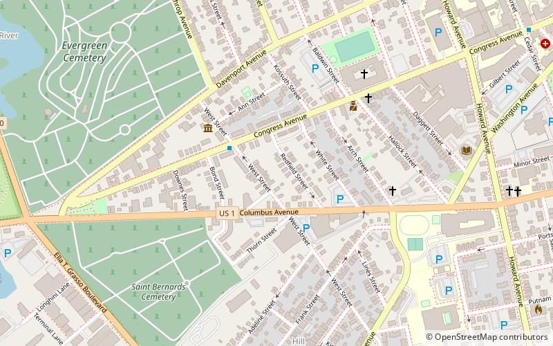
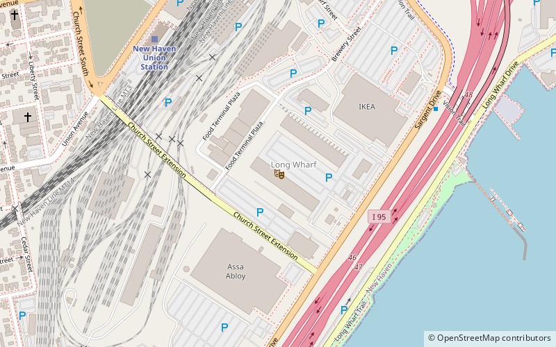
Map
Facts and practical information
Redfield & West Streets Historic District is a state-designated historic district in New Haven, Connecticut. It is located in The Hill neighborhood in southern New Haven. ()
Coordinates: 41°17'55"N, 72°56'28"W
Address
South New Haven (The Hill)New Haven
ContactAdd
Social media
Add
Getting there by public transportation
Public transportation stops near this location
- Bus
- Train
 Bus
Bus
- Calculate routeBoyer Center/Hope 12 min walk
- Calculate routeAmistad/Cedar 13 min walk
- Calculate routeLEPH/60 College 16 min walk
- Calculate route300 George 18 min walk
- Calculate routeNew Haven Union Station 20 min walk
- Calculate routeNew Haven-State Street 28 min walk
Day trips


Frequently Asked Questions (FAQ)
Which popular attractions are close to Redfield & West Streets Historic District?
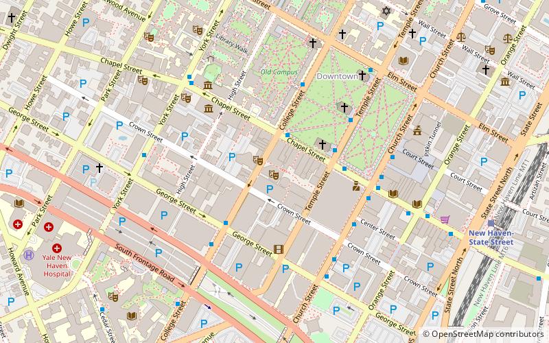
Nearby attractions include Ahavas Sholem Synagogue, New Haven (2 min walk), Beth Israel Synagogue, New Haven (2 min walk), Yale University, New Haven (7 min walk), Welch Training School, New Haven (7 min walk).
How to get to Redfield & West Streets Historic District by public transport?
The nearest stations to Redfield & West Streets Historic District:
Bus
Train
Bus
- Boyer Center/Hope • Lines: Blue Line (Day), Orange Line (Day) (12 min walk)
- Amistad/Cedar • Lines: Blue Line (Weekend) (13 min walk)
Train
- New Haven Union Station (20 min walk)
- New Haven-State Street (28 min walk)