Las Vegas Walk of Stars, Las Vegas
Facts and practical information
The Las Vegas Walk of Stars, located in Las Vegas, Nevada, started in October 2004 to honor the people who helped make Vegas famous. The stars are located along a 4-mile stretch on both sides of Las Vegas Blvd between Sahara Ave and Russell Rd. Wayne Newton was first to be honored on October 26, 2004, followed in 2005 by Frank Marino, Liberace, Rich Little, Line Renaud and Dick Jensen. In 2010, Frank Marino became the first entertainer to have earned induction into the Walk of Stars twice. In 2010, Cuban music icons Gloria Estefan and Emilio Estefan were the first couple recognized, who shared a star. In 2011, Mexican power couple Jenni Rivera and Esteban Loaiza were the second couple to be recognized by the Las Vegas Strip attraction. On February 17, 2008 singer, entertainer, television host and producer, Tony Sacca became the 23rd star recipient. ()
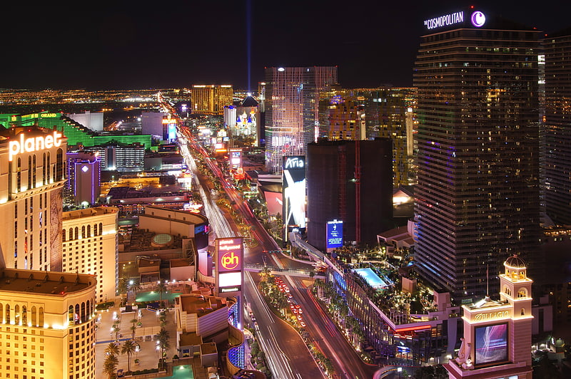
Paradise (The Strip)Las Vegas
- Bus
- Train
 Bus
Bus
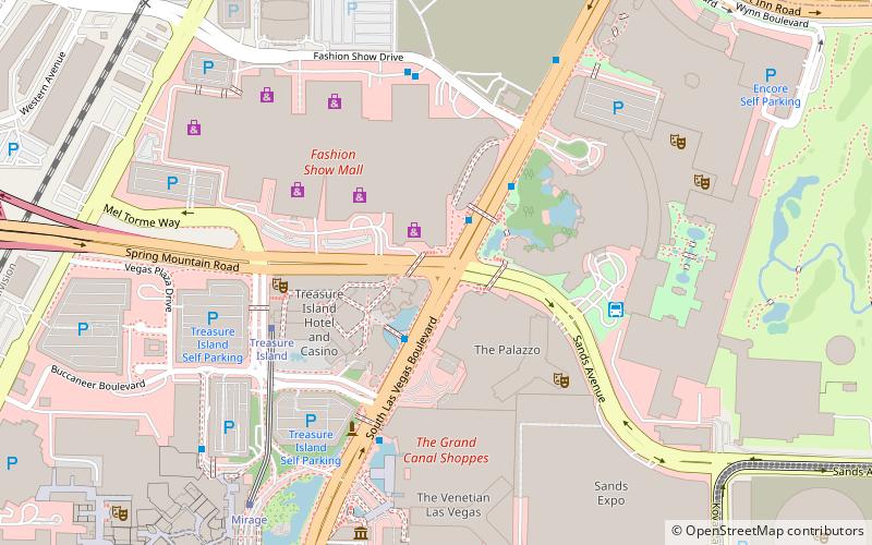
- Calculate routeFashion Show Mall 2 min walk
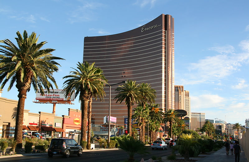
- Calculate routeWynn 4 min walk
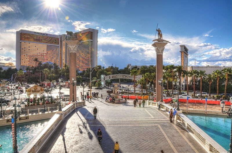
- Calculate routeVenetian 5 min walk
- Calculate routeTreasure Island 6 min walk
- Calculate routeHarrah's / The Linq 12 min walk
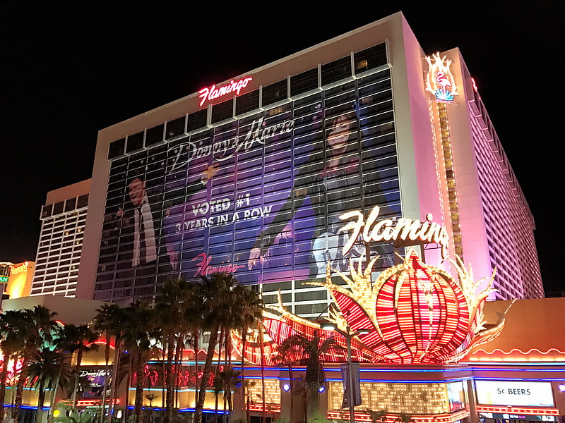
- Calculate routeCaesars Palace / Flamingo 17 min walk
- Calculate routeLas Vegas Convention Center 23 min walk
- Calculate routeBally's/Paris Las Vegas 24 min walk


Frequently Asked Questions (FAQ)
Which popular attractions are close to Las Vegas Walk of Stars?
How to get to Las Vegas Walk of Stars by public transport?
Bus
- Fashion Show Mall • Lines: Deuce (2 min walk)
- Wynn • Lines: Deuce (4 min walk)
Train
- Harrah's / The Linq (12 min walk)
- Caesars Palace / Flamingo (17 min walk)