Algiers Point, New Orleans

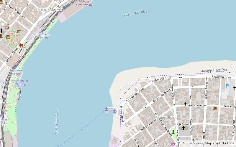
Map
Facts and practical information
Algiers Point is a location on the Lower Mississippi River in New Orleans, Louisiana. In river pilotage, Algiers Point is simply one of the many points of land around which the river flows—albeit a significant one. Since the 1970s, the name Algiers Point has also referred to the neighborhood in the immediate vicinity of that point. People from Algiers Point are known as Algierines, or Algerines. ()
Coordinates: 29°57'19"N, 90°3'19"W
Address
New Orleans
ContactAdd
Social media
Add
Day trips
Algiers Point – popular in the area (distance from the attraction)
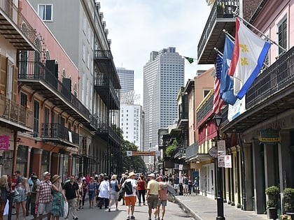
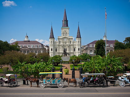
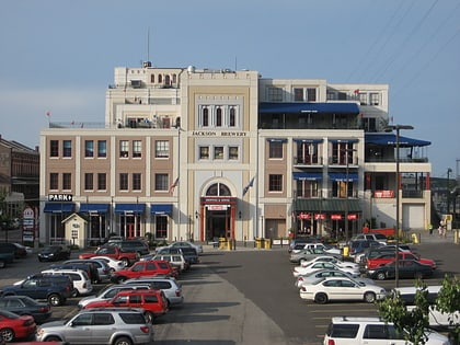
Nearby attractions include: Royal Street, French Market, New Orleans Mint, St. Louis Cathedral.
Frequently Asked Questions (FAQ)
Which popular attractions are close to Algiers Point?
Nearby attractions include Joan of Arc, New Orleans (11 min walk), Gallery Cayenne, New Orleans (11 min walk), Washington Artillery Park, New Orleans (11 min walk), New Orleans Mint, New Orleans (12 min walk).
How to get to Algiers Point by public transport?
The nearest stations to Algiers Point:
Tram
Tram
- Ursulines Avenue • Lines: 2 (10 min walk)
- Dumaine Street • Lines: 2 (10 min walk)


