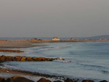
South Plymouth, Plymouth
Map
Facts and practical information
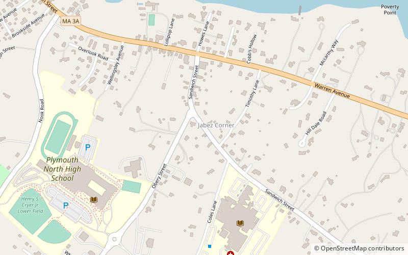
South Plymouth is the portion of Plymouth, Massachusetts, United States that covers much of the southern section of the town beginning at the Pine Hills, a large, mostly undeveloped forested area south of Plymouth Beach, Chiltonville and South Pond. The remainder of the section is south and east of the northeastern entrance to Myles Standish State Forest, stretching to the Bourne and Wareham town lines. ()
Coordinates: 41°52'12"N, 70°34'12"W
Address
Plymouth
ContactAdd
Social media
Add
Day trips
South Plymouth – popular in the area (distance from the attraction)
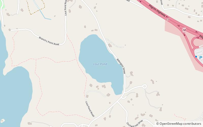
Nearby attractions include: Plimoth Plantation, Priscilla Beach Theatre, Plymouth Long Beach, Lout Pond.


