Laney College Football Stadium, Oakland
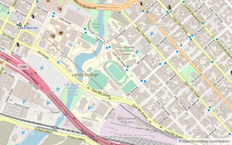
Map
Facts and practical information
Laney College Football Stadium is a multi-purpose stadium located on the Laney College campus in Oakland, California on the former site of Frank Youell Field. It is owned and operated by Laney College and is the home field of the Laney Eagles track & field and football teams. It is also the home field of the Oakland Roots SC soccer team of the USL Championship. For Roots games, the pitch is widened using a modular turf system. The stadium has room for 3,500 seated and up to 5,500+ with standing room. ()
Coordinates: 37°47'40"N, 122°15'31"W
Address
Central Oakland (Laney College)Oakland
ContactAdd
Social media
Add
Getting there by public transportation
Public transportation stops near this location
- Metro
- Bus
- Train
 Metro
Metro
- Calculate routeEast 10th Street & 4th Avenue 2 min walk
- Calculate route5th Avenue & East 10th Street 3 min walk
- Calculate routeKaiser Convention Center 6 min walk
- Calculate routeLake Merritt 11 min walk
- Calculate routeOakland City Center - 12th Street 25 min walk
- Calculate routeOakland-Jack London Square 19 min walk
Day trips
Laney College Football Stadium – popular in the area (distance from the attraction)
Nearby attractions include: Camron-Stanford House, Lake Merritt, Oakland Museum of California, Heinold's First and Last Chance Saloon.


Frequently Asked Questions (FAQ)
Which popular attractions are close to Laney College Football Stadium?
Nearby attractions include Peralta Park, Oakland (6 min walk), Laney College, Oakland (8 min walk), Oakland Museum of California, Oakland (10 min walk), St. George Serbian Orthodox Church - Oakland, Oakland (11 min walk).
How to get to Laney College Football Stadium by public transport?
The nearest stations to Laney College Football Stadium:
Bus
Metro
Train
Bus
- East 10th Street & 4th Avenue • Lines: 62 (2 min walk)
- 5th Avenue & East 10th Street • Lines: 62, 96 (3 min walk)
Metro
- Lake Merritt • Lines: Blue, Green, Orange (11 min walk)
- Oakland City Center - 12th Street • Lines: Orange, Red, Yellow (25 min walk)
Train
- Oakland-Jack London Square (19 min walk)