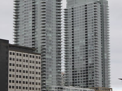
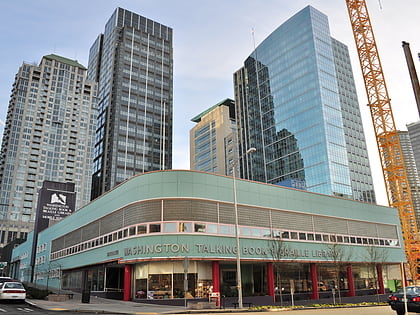
Via6 Towers, Seattle
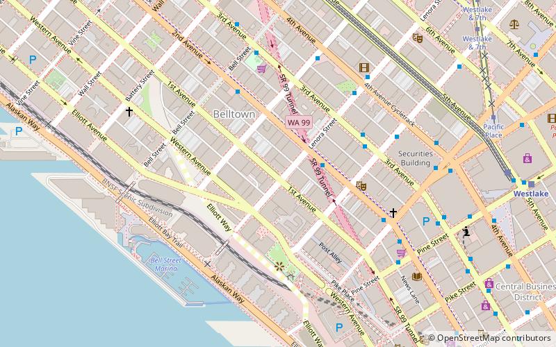
Map
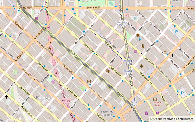
Map

Facts and practical information
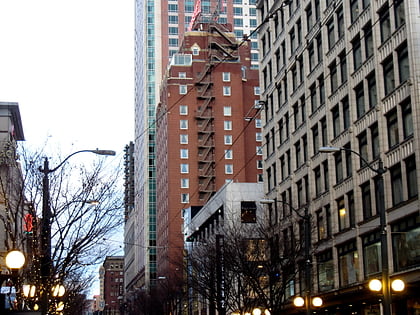
The Via6 Towers are a pair of 24-story apartment buildings in the Belltown neighborhood of Seattle, Washington. Construction began in 2011 and the building topped out in June 2012. The complex opened February 2013 and includes 18,000 square feet of retail space at street level. The building was constructed to Leed Gold standards. ()
Coordinates: 47°36'55"N, 122°20'26"W
Address
Downtown Seattle (Belltown)Seattle
ContactAdd
Social media
Add
Day trips
Via6 Towers – popular in the area (distance from the attraction)
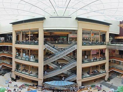
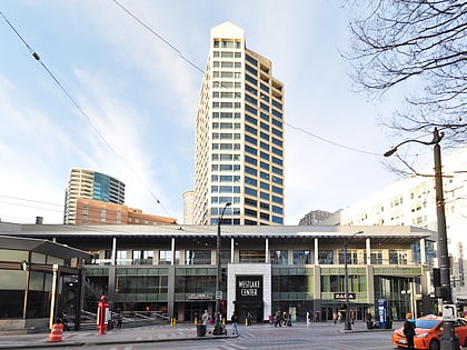
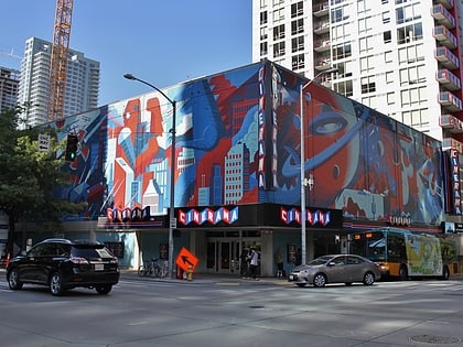
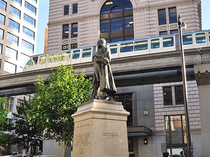
Nearby attractions include: Pacific Place, Westlake Center, Cinerama, McGraw Square.
Frequently Asked Questions (FAQ)
Which popular attractions are close to Via6 Towers?
Nearby attractions include Day 1, Seattle (2 min walk), Denny Triangle, Seattle (3 min walk), Seattle Glassblowing Studio, Seattle (3 min walk), Westin Building, Seattle (4 min walk).
How to get to Via6 Towers by public transport?
The nearest stations to Via6 Towers:
Bus
Tram
Trolleybus
Train
Light rail
Ferry
Bus
- Blanchard St & 6th Ave • Lines: 554, 62, C (1 min walk)
- Lenora St & 4th Ave • Lines: 27, 37, 554 (4 min walk)
Tram
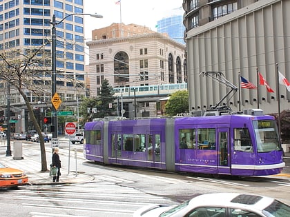
- Westlake & 7th • Lines: South Lake Union Streetcar (4 min walk)
- Pacific Place • Lines: South Lake Union Streetcar (6 min walk)
Trolleybus
- 3rd Ave & Virginia St • Lines: 1, 13, 2, 3, 4 (5 min walk)
- 3rd Ave & Seneca St • Lines: 1, 13, 3, 4, 49 (17 min walk)
Train
- Westlake Center (8 min walk)
- Seattle Center (15 min walk)
Light rail
- Westlake • Lines: 1 (9 min walk)
- University Street • Lines: 1 (15 min walk)
Ferry
- Seattle • Lines: Seattle-Bremerton, Seattle-Victoria, Seattle-Winslow (24 min walk)
- Seattle Waterfront • Lines: Seattle-Blake Island (19 min walk)

