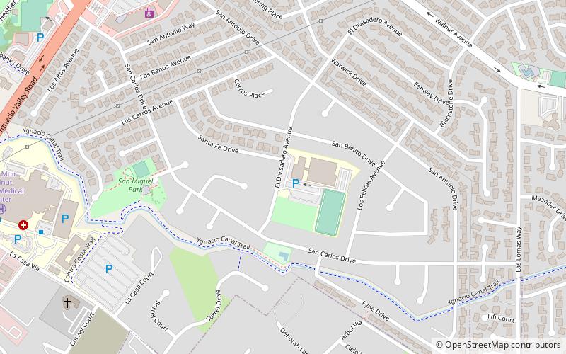
Rancho San Miguel, Walnut Creek
Map
Facts and practical information
Rancho San Miguel is a Neighborhood in Walnut Creek, California. It is named after the Alta California Rancho Rancho Arroyo de Las Nueces y Bolbones which was also referred to as Rancho San Miguel. Until the mid-1950s the area consisted largely of walnut orchards, until developer Joseph Eichler built a subdivision north of Shell Ridge and Ygnacio Valley Road ()
Coordinates: 37°54'49"N, 122°1'59"W
Address
Rancho San MiguelWalnut Creek
ContactAdd
Social media
Add
Getting there by public transportation
Public transportation stops near this location
- Bus
 Bus
Bus
- Calculate routeJohn Muir Medical Center Walnut Creek 12 min walk
- Calculate routeYgnacio Valley Road & Chase Bank 12 min walk
- Calculate routeYgnacio Valley Road & Bancroft Road 13 min walk
- Calculate routeMontego & Satellite Senior Homes 14 min walk
Day trips


Frequently Asked Questions (FAQ)
Which popular attractions are close to Rancho San Miguel?
Nearby attractions include Ruth Bancroft Garden, Walnut Creek (19 min walk), Heather Farm Park, Walnut Creek (19 min walk).
How to get to Rancho San Miguel by public transport?
The nearest stations to Rancho San Miguel:
Bus
Bus
- John Muir Medical Center Walnut Creek • Lines: 1, 311 (12 min walk)
- Ygnacio Valley Road & Chase Bank • Lines: 1, 92X (12 min walk)