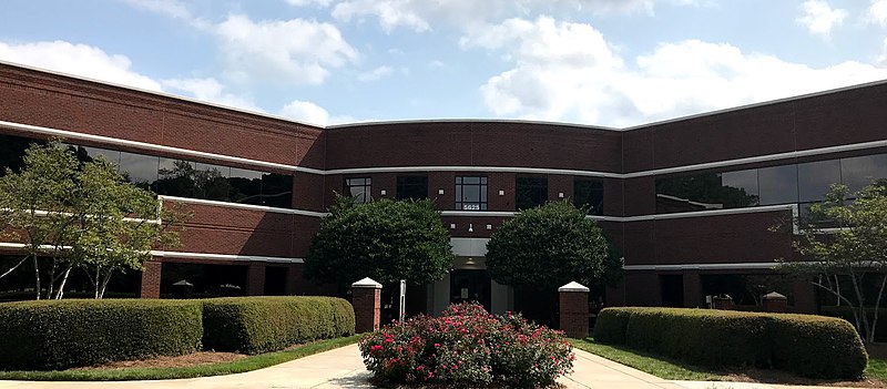
Wake County Public School System, Raleigh

Gallery (5)
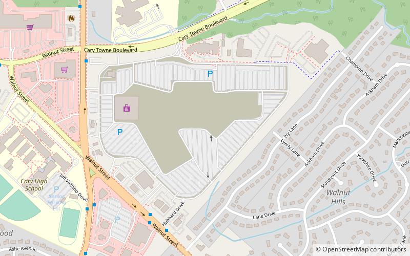
Map


Map

Gallery
Facts and practical information
The Wake County Public School System is a public school district located in Wake County, North Carolina. With 157,673 students in average daily membership and 194 schools as of the 2021–2022 school year, it is the largest public school district in North Carolina and fourteenth largest in the United States as of 2016. ()
Coordinates: 35°45'15"N, 78°44'14"W
Getting there by public transportation
Public transportation stops near this location
- Bus
 Bus
Bus
- Calculate routeDillard Drive & Columbus Avenue 3 min walk
- Calculate routeWalnut Street at Centrum at Crossroads 6 min walk
Day trips


Frequently Asked Questions (FAQ)
How to get to Wake County Public School System by public transport?
The nearest stations to Wake County Public School System:
Bus
Bus
- Dillard Drive & Columbus Avenue • Lines: 305 (3 min walk)
- Walnut Street at Centrum at Crossroads • Lines: 1 (6 min walk)