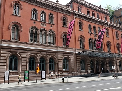
Campus of New York University, New York City
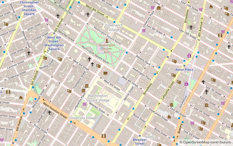
Map
Facts and practical information
The urban campus of New York University is located in Manhattan, and is around Washington Square Park in Greenwich Village, and also is in MetroTech Center in Downtown Brooklyn. NYU is one of the top three largest landowners in New York City. ()
Coordinates: 40°43'46"N, 73°59'47"W
Address
Downtown Manhattan (Greenwich Village)New York City
ContactAdd
Social media
Add
Day trips
Campus of New York University – popular in the area (distance from the attraction)
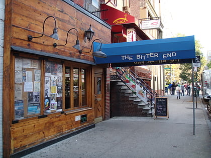
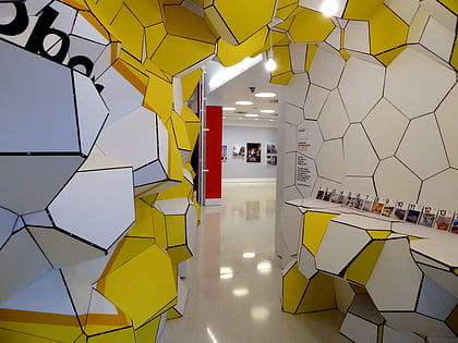
Nearby attractions include: The Bitter End, Le Poisson Rouge, Washington Square Park, Center for Architecture.
Frequently Asked Questions (FAQ)
Which popular attractions are close to Campus of New York University?
Nearby attractions include Grey Art Gallery, New York City (1 min walk), Gould Plaza, New York City (2 min walk), Elmer Holmes Bobst Library, New York City (2 min walk), New York University, New York City (2 min walk).
How to get to Campus of New York University by public transport?
The nearest stations to Campus of New York University:
Bus
Metro
Ferry
Bus
- Broadway & Waverly Place • Lines: M55 (4 min walk)
- East 8th Street & Mercer Street • Lines: M1, M2, M3, M55, M8 (6 min walk)
Metro
- 8th Street–New York University • Lines: N, Q, R, W (6 min walk)
- Astor Place • Lines: <6>, 4, 6 (7 min walk)
Ferry
- Brookfield Place / Battery Park City Ferry Terminal (39 min walk)
 Subway
 Manhattan Buses