Howe, Minneapolis
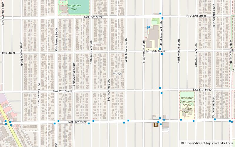
Map
Facts and practical information
Howe is a neighborhood within the larger Longfellow community in Minneapolis. It is bordered by the Cooper and Longfellow neighborhoods to the north, Corcoran and Standish to the west, Hiawatha to the south, and the Mississippi River to the east. The neighborhood and its elementary school are named for Julia Ward Howe. ()
Area: 1.09 mi²Coordinates: 44°56'12"N, 93°12'57"W
Address
Longfellow (Howe)Minneapolis
ContactAdd
Social media
Add
Getting there by public transportation
Public transportation stops near this location
- Bus
- Light rail
 Bus
Bus
- Calculate route38th Street 18 min walk
- Calculate route46th Street 29 min walk
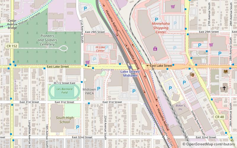
- Calculate routeLake Street/Midtown 36 min walk
- Calculate routeGate A 28 min walk
- Calculate route46th Street & 46th Avenue 32 min walk
Day trips


Frequently Asked Questions (FAQ)
Which popular attractions are close to Howe?
Nearby attractions include Longfellow, Minneapolis (9 min walk), Longfellow, Minneapolis (12 min walk), Christ Church Lutheran, Minneapolis (16 min walk), Squirrel Haus Arts, Minneapolis (19 min walk).
How to get to Howe by public transport?
The nearest stations to Howe:
Light rail
Bus
Light rail
- 38th Street • Lines: 901 (18 min walk)
- 46th Street • Lines: 901 (29 min walk)
Bus
- Gate A • Lines: A (28 min walk)
- 46th Street & 46th Avenue • Lines: A (32 min walk)