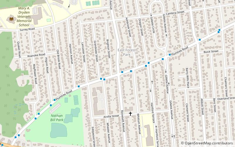
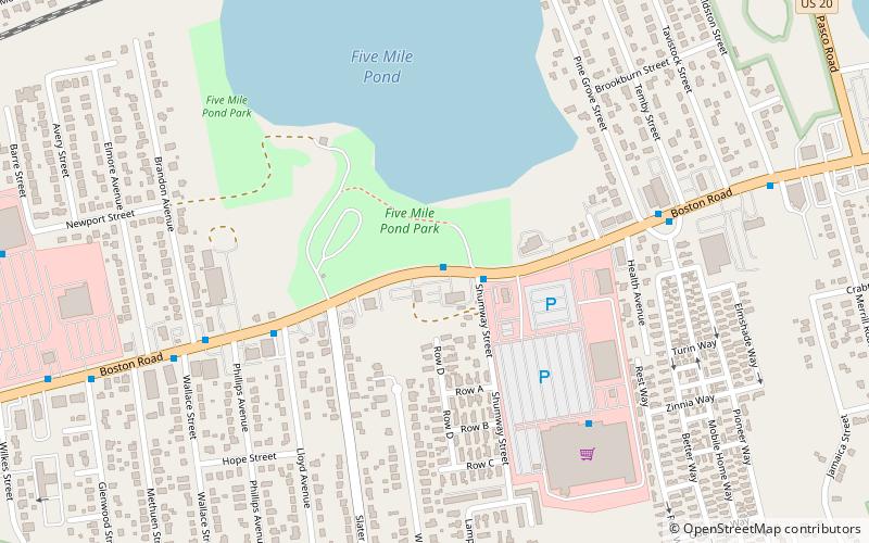
Boston Road, Springfield
Map
Facts and practical information
Boston Road is Springfield, Massachusetts's principal commercial and retail corridor. The Boston Road neighborhood, historically known as Springfield Plain, is named for being a major waypoint on the Boston Post Road system. ()
Coordinates: 42°8'20"N, 72°30'36"W
Address
Boston RoadSpringfield
ContactAdd
Social media
Add
Day trips