Berea–Biddle Street Historic District, Baltimore
Facts and practical information
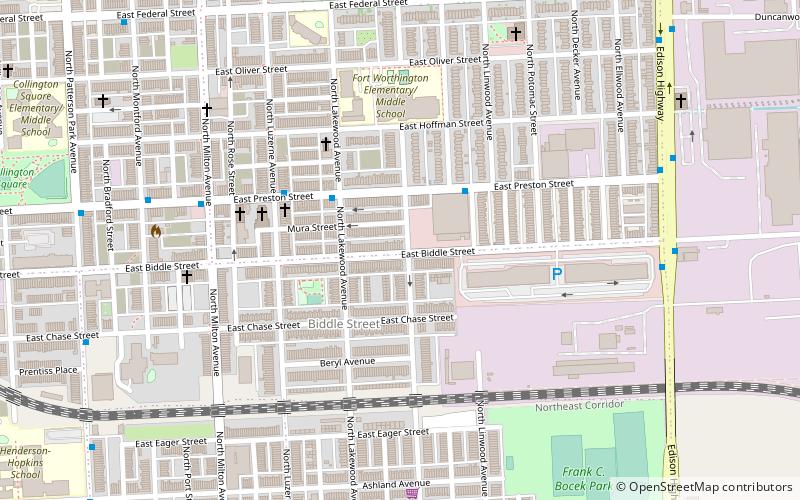
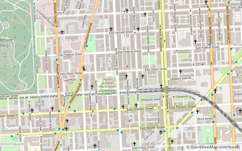
The Berea–Biddle Street Historic District is a national historic district in Baltimore, Maryland, United States. It is located in the far eastern part of the historic city bounds, and is roughly bounded by the Edison Highway, Federal Street, North Rose Street, and the railroad tracks of the Penn Central Railroad. This area was one of the last to be developed within the city's 1851 boundaries, and consists mainly of two-story rowhouses built between about 1890 and 1925. The centerpiece of the district is the St. Katherine of Sienna Roman Catholic church and school complex. ()
Eastern Baltimore (Berea)Baltimore
- Metro
- Bus
 Metro
Metro
- Calculate routePatterson Park Avenue & Preston Street Northbound 10 min walk
- Calculate routeMilton Avenue & Federal Street Northbound 10 min walk
- Calculate routeMadison Street 18 min walk
- Calculate routeRutland Avenue 20 min walk
- Calculate routeJohns Hopkins Hospital 25 min walk
Berea–Biddle Street Historic District – popular in the area (distance from the attraction)
Nearby attractions include: National Great Blacks In Wax Museum, Patterson Park, Clifton Park, Saint Wenceslaus Roman Catholic Church.


Frequently Asked Questions (FAQ)
Which popular attractions are close to Berea–Biddle Street Historic District?
How to get to Berea–Biddle Street Historic District by public transport?
Bus
- Patterson Park Avenue & Preston Street Northbound • Lines: Pk (10 min walk)
- Milton Avenue & Federal Street Northbound • Lines: Gd (10 min walk)
Metro
- Johns Hopkins Hospital • Lines: M (25 min walk)