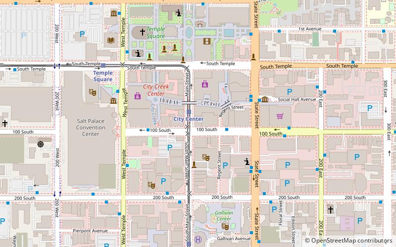
Deseret Museum, Salt Lake City

Map
Facts and practical information
The Deseret Museum was a museum in Salt Lake City, Utah. ()
Coordinates: 40°46'3"N, 111°53'27"W
Address
Central Salt Lake City (Downtown Salt Lake City)Salt Lake City
ContactAdd
Social media
Add
Day trips
Deseret Museum – popular in the area (distance from the attraction)
Nearby attractions include: Salt Lake Temple, LDS Conference Center, City Creek Center, Salt Lake Tabernacle.
Frequently Asked Questions (FAQ)
Which popular attractions are close to Deseret Museum?
Nearby attractions include 99 West on South Temple, Salt Lake City (2 min walk), Utah Commercial and Savings Bank Building, Salt Lake City (2 min walk), Eccles Theater, Salt Lake City (2 min walk), The Regent, Salt Lake City (2 min walk).
How to get to Deseret Museum by public transport?
The nearest stations to Deseret Museum:
Light rail
Bus
Train
Light rail
- City Center • Lines: 701, 704 (1 min walk)
- Temple Square • Lines: 701, 704 (7 min walk)
Bus
- 400 S @ 198 W • Lines: 228, 460, 461, 462, 463 (14 min walk)
- North Temple Station (23 min walk)
Train
- North Temple Bridge/Guadalupe (22 min walk)
- Salt Lake Central (27 min walk)


