Paoha Island
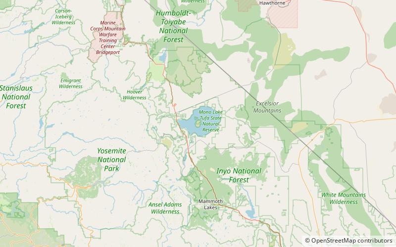
Map

Map

Facts and practical information
Paoha Island is a volcanic island in Mono Lake, an endorheic lake in the U.S. state of California. The island was formed by a series of eruptions in the 17th century. It is composed of lakebed sediments deposited above volcanic domes. It is one of two major islands in the lake, the other being the smaller Negit Island. Its name comes from a Native American word, Pa-o-ha, describing the abundant hot springs and fumaroles on its surface. ()
Maximum elevation: 6670 ftCoordinates: 37°59'54"N, 119°2'10"W
Location
California
ContactAdd
Social media
Add
Day trips
Paoha Island – popular in the area (distance from the attraction)
Nearby attractions include: Panum Crater, Mono Basin National Scenic Area, Lee Vining, Mono Lake.


