Mono Basin National Scenic Area, Inyo National Forest

Gallery (3)
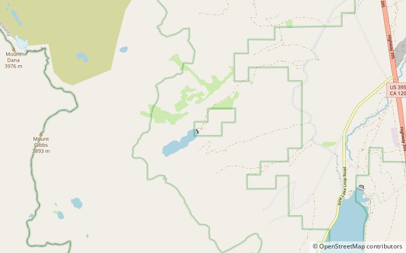
Map
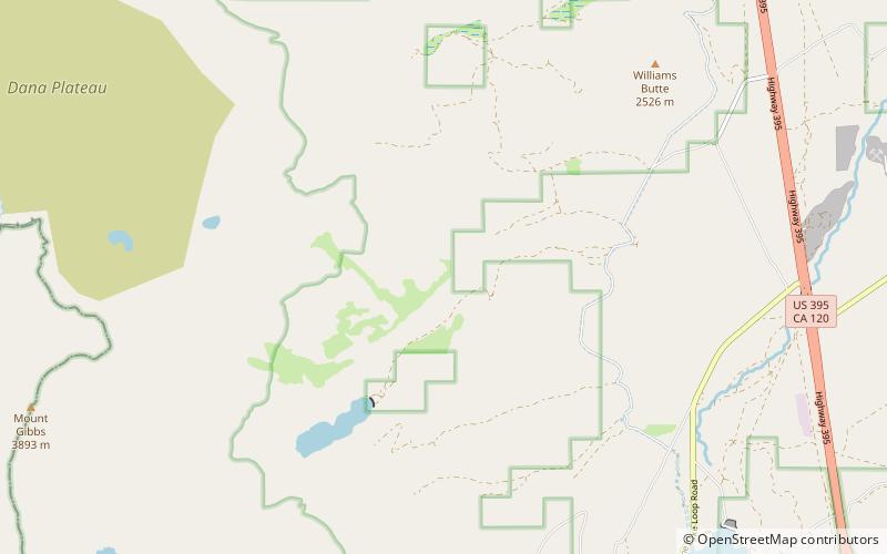
Map
Gallery
Facts and practical information
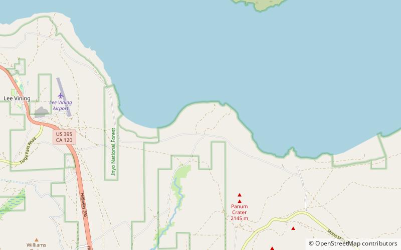
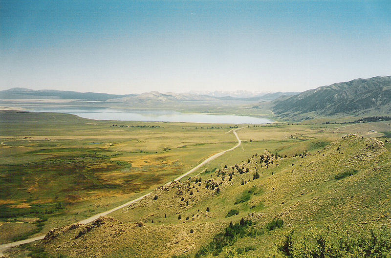
The Mono Basin National Forest Scenic Area is a protected area in Eastern California that surrounds Mono Lake and the northern half of the Mono Craters volcanic field. It is administered by the Inyo National Forest as a unit of the National Forest Scenic Area program, under the U.S. Forest Service. ()
Coordinates: 37°57'1"N, 119°3'32"W
Address
Inyo National Forest
ContactAdd
Social media
Add
Day trips