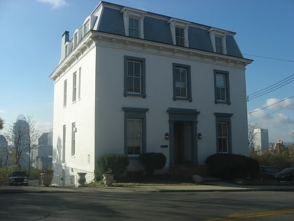
Mount Auburn Historic District, Cincinnati
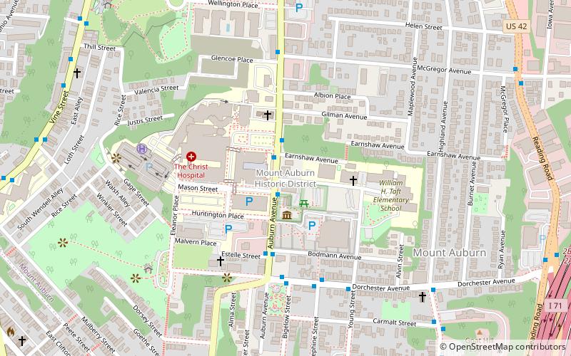
Map
Facts and practical information
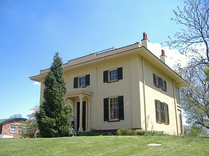
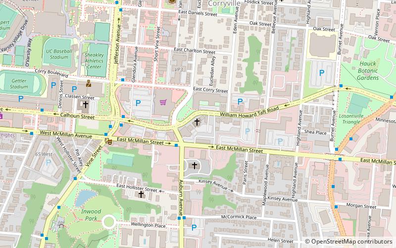
Mount Auburn Historic District is located in the Mount Auburn neighborhood of Cincinnati, Ohio. It extends along both sides of Auburn Avenue roughly between Ringold Street and William H. Taft Road. The population of Mount Auburn was 4,904 at the 2010 census. ()
Area: 0.65 mi²Coordinates: 39°7'13"N, 84°30'30"W
Address
Mount AuburnCincinnati
ContactAdd
Social media
Add
Day trips
Mount Auburn Historic District – popular in the area (distance from the attraction)
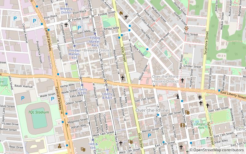
Nearby attractions include: Bogart's, Cincinnati Art Museum, Findlay Market, Rhinegeist.
Frequently Asked Questions (FAQ)
Which popular attractions are close to Mount Auburn Historic District?
Nearby attractions include William Howard Taft National Historic Site, Cincinnati (2 min walk), Hopkins Park, Cincinnati (5 min walk), Jacob D. Cox House, Cincinnati (5 min walk), Glencoe–Auburn Hotel and Glencoe–Auburn Place Row Houses, Cincinnati (6 min walk).
How to get to Mount Auburn Historic District by public transport?
The nearest stations to Mount Auburn Historic District:
Bus
Tram
Bus
- Dorchester Ave & Bigelow St • Lines: 19, 24 (5 min walk)
- Highland Ave & Dorchester Ave • Lines: 19, 24 (8 min walk)
Tram
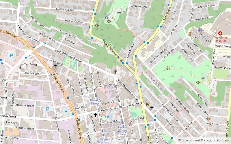
- Findlay Market–Race • Lines: 100 (17 min walk)
- Brewery District • Lines: 100 (18 min walk)
