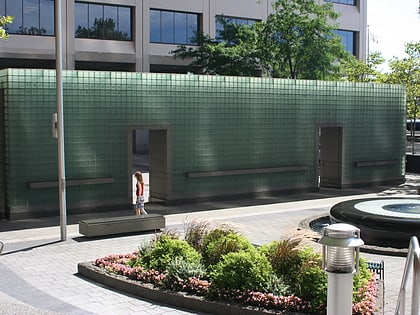
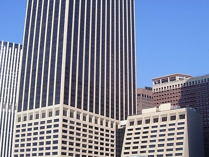
Marketfield Street, New York City
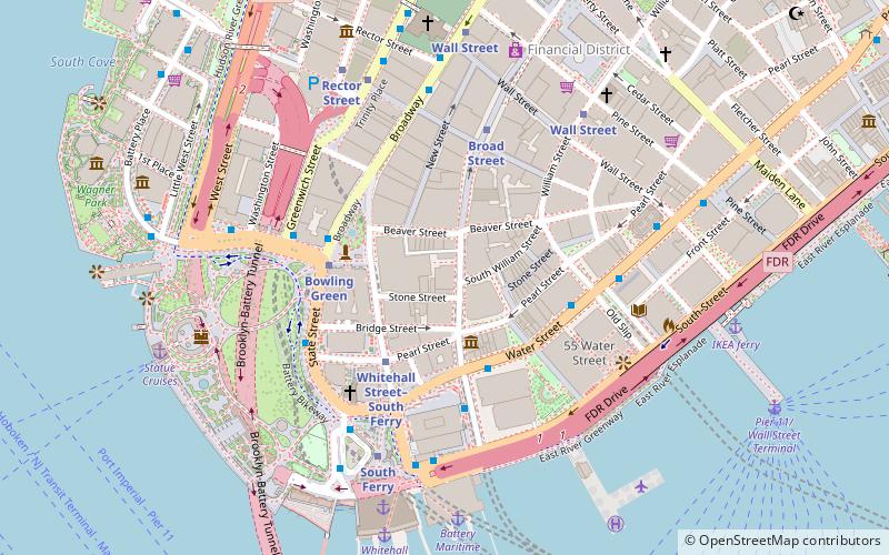
Map
Facts and practical information
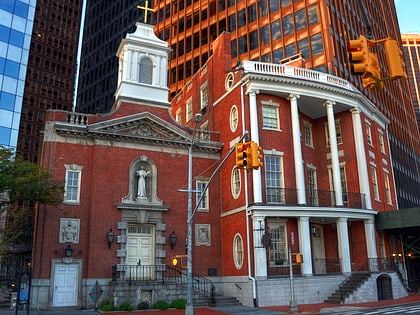
Marketfield Street is a short one-way, one-block-long alleyway in the Financial District of Manhattan, New York City. The street begins as a southern branch of Beaver Street, then veers east and north, ending at Broad Street. Alternative past names include Exchange Street, Field Street, Fieldmarket Street, Oblique Road, and Petticoat Lane. ()
Address
80 Broad StreetDowntown Manhattan (Financial District)New York City
ContactAdd
Social media
Add
Day trips
Marketfield Street – popular in the area (distance from the attraction)
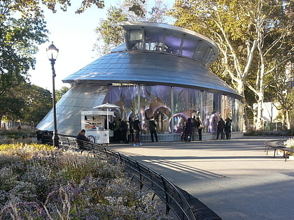
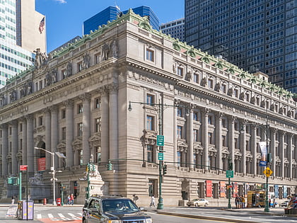
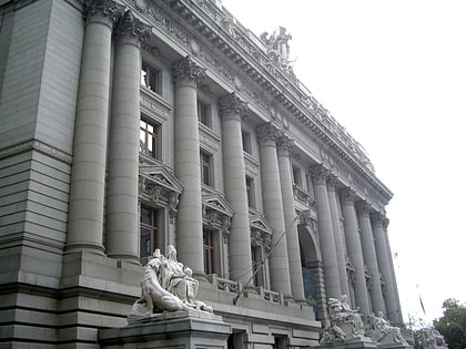
Nearby attractions include: Fraunces Tavern Museum, Bowling Green, SeaGlass Carousel, Alexander Hamilton U.S. Custom House.
Frequently Asked Questions (FAQ)
Which popular attractions are close to Marketfield Street?
Nearby attractions include American Bank Note Company Building, New York City (1 min walk), Fraunces Tavern Museum, New York City (2 min walk), Stone Street, New York City (2 min walk), 26 Broadway, New York City (3 min walk).
How to get to Marketfield Street by public transport?
The nearest stations to Marketfield Street:
Metro
Bus
Ferry
Light rail
Metro
- Whitehall Street–South Ferry • Lines: N, R, W (3 min walk)
- Bowling Green • Lines: 4, 5 (3 min walk)
Bus
- Broadway & Battery Place • Lines: 120 (4 min walk)
- Greenwich Street at Battery Place • Lines: 120 (5 min walk)
Ferry
- Whitehall • Lines: Sif (7 min walk)
- Battery Park • Lines: Sc-Ny (8 min walk)
Light rail
- Exchange Place • Lines: Hblr (37 min walk)
- Harborside Financial Center • Lines: Hblr (40 min walk)
 Subway
 Manhattan Buses
