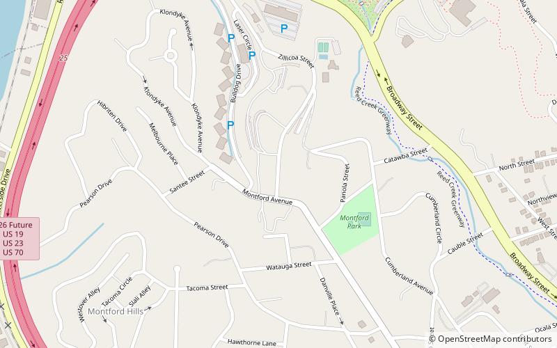
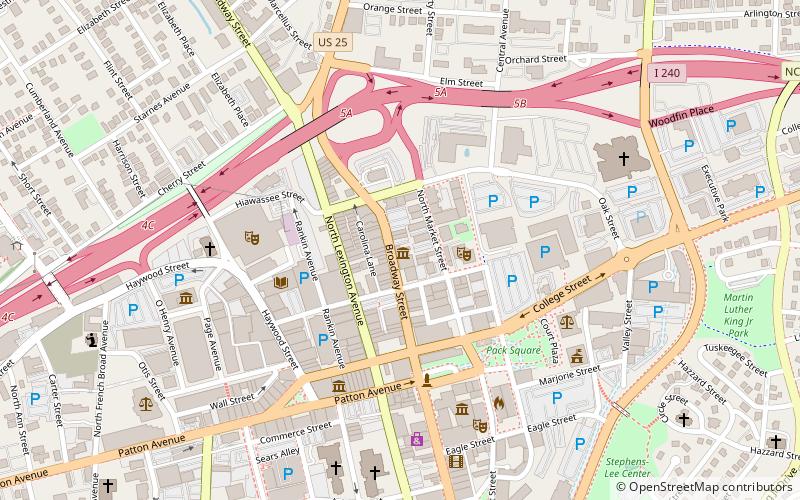
Mountain Bogs National Wildlife Refuge, Asheville
Map

Map

Facts and practical information
The Mountain Bogs National Wildlife Refuge is a federally protected wildlife refuge located within multiple western North Carolina counties, United States. The refuge has a total area of over 7,000 acres consisting of fee title and conservation easements on privately owned property. In order to respect the wishes of the landowner, and protect sensitive habitat, the refuge is currently not open to the public. ()
Coordinates: 35°36'29"N, 82°34'8"W
Address
Historic MontfordAsheville
ContactAdd
Social media
Add
Day trips
Mountain Bogs National Wildlife Refuge – popular in the area (distance from the attraction)
Nearby attractions include: Basilica of St. Lawrence, Grove Arcade, Botanical Gardens at Asheville, Black Mountain College Museum + Arts Center.
Frequently Asked Questions (FAQ)
Which popular attractions are close to Mountain Bogs National Wildlife Refuge?
Nearby attractions include Botanical Gardens at Asheville, Asheville (10 min walk), Montford Area Historic District, Asheville (12 min walk), Riverside Cemetery, Asheville (14 min walk), University of North Carolina at Asheville, Asheville (15 min walk).
How to get to Mountain Bogs National Wildlife Refuge by public transport?
The nearest stations to Mountain Bogs National Wildlife Refuge:
Bus
Bus
- Asheville Transit Center (33 min walk)


