Fords, Woodbridge
Map
Facts and practical information
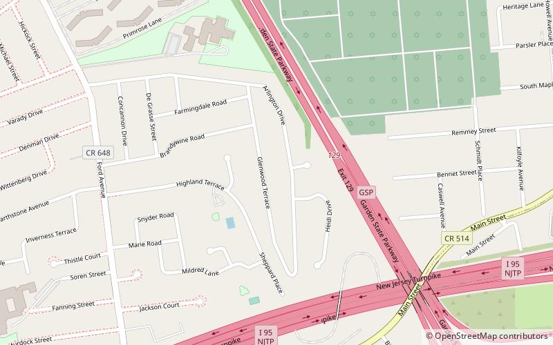
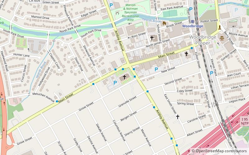
Fords is an unincorporated community and census-designated place located within Woodbridge Township, in Middlesex County, New Jersey, United States. As of the 2010 United States Census, the CDP's population was 15,187. ()
Address
FordsWoodbridge
ContactAdd
Social media
Add
Getting there by public transportation
Public transportation stops near this location
- Bus
 Bus
Bus
- Calculate routeFord Avenue at Webb Drive 13 min walk
- Calculate routeFord Avenue at Main Street 13 min walk
- Calculate routeWoodbridge Center Drive at Plaza Drive 23 min walk
Day trips


Frequently Asked Questions (FAQ)
How to get to Fords by public transport?
The nearest stations to Fords:
Bus
Bus
- Ford Avenue at Webb Drive • Lines: 805 (13 min walk)
- Ford Avenue at Main Street • Lines: 805, 810 (13 min walk)