Conduit Avenue, New York City
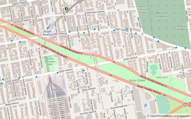
Map

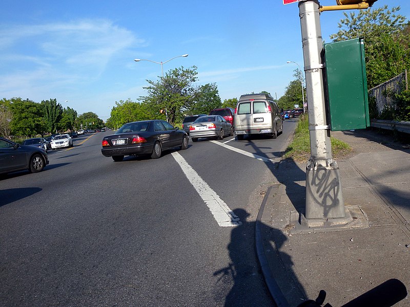
Gallery

Facts and practical information
Conduit Avenue is an arterial road in New York City, the vast majority of which is in Queens. The divided highway runs from Atlantic Avenue in Cypress Hills, Brooklyn to Hook Creek Boulevard in Rosedale, Queens at the Nassau County border. The thoroughfare is named after an aqueduct in its right-of-way. ()
Coordinates: 40°40'29"N, 73°51'40"W
Address
Eastern Brooklyn (East New York)New York City
ContactAdd
Social media
Add
Day trips
Conduit Avenue – popular in the area (distance from the attraction)
Nearby attractions include: Bayside Cemetery, Cypress Hills National Cemetery, Salem Fields Cemetery, Andrews United Methodist Church.
Frequently Asked Questions (FAQ)
How to get to Conduit Avenue by public transport?
The nearest stations to Conduit Avenue:
Metro
Bus
Metro
- Grant Avenue • Lines: A (7 min walk)
- 80th Street • Lines: A (9 min walk)
Bus
- Pitkin Avenue & Sutter Avenue • Lines: Q7 (11 min walk)
- Euclid Avenue & Linden Boulevard • Lines: B13 (17 min walk)

 Subway
 Manhattan Buses


