Adams Avenue Historic District, Memphis
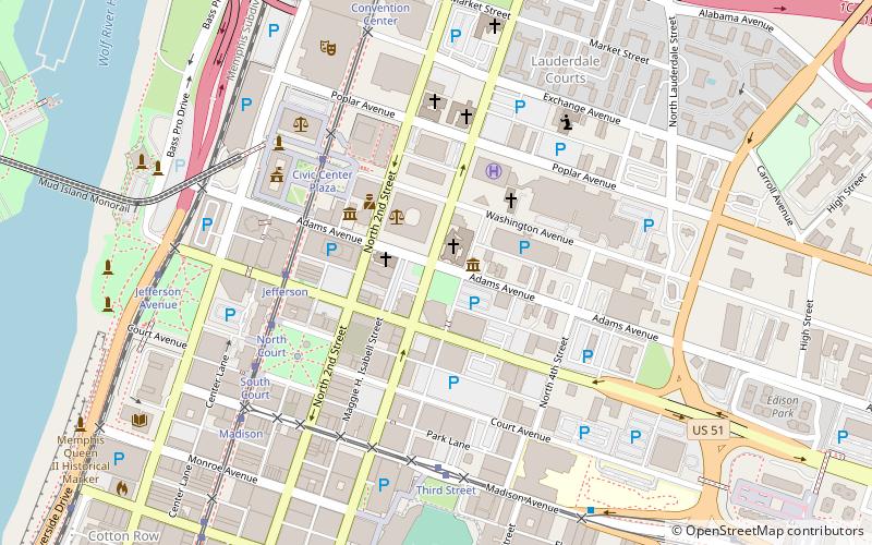
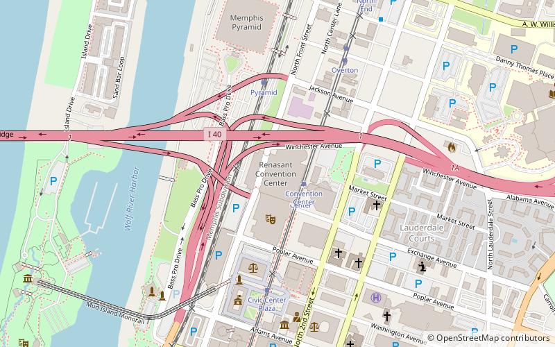
Map

Map

Facts and practical information
The Adams Avenue Historic District in Memphis, Tennessee is a 9 acres historic district which was listed on the National Register of Historic Places in 1980. ()
Coordinates: 35°8'51"N, 90°2'57"W
Address
Downtown Memphis (The Core)Memphis
ContactAdd
Social media
Add
Day trips
Adams Avenue Historic District – popular in the area (distance from the attraction)
Nearby attractions include: FedExForum, AutoZone Park, Pyramid Arena, Beale Street.
Frequently Asked Questions (FAQ)
Which popular attractions are close to Adams Avenue Historic District?
Nearby attractions include Magevney House, Memphis (2 min walk), Calvary Episcopal Church, Memphis (2 min walk), Fire Museum of Memphis, Memphis (3 min walk), Tennessee Club-Overall Goodbar Building, Memphis (4 min walk).
How to get to Adams Avenue Historic District by public transport?
The nearest stations to Adams Avenue Historic District:
Tram
Bus
Train
Tram
- Jefferson • Lines: MATA Trolley Main Street Line (5 min walk)
- Civic Center Plaza • Lines: MATA Trolley Main Street Line, MATA Trolley Riverfront Loop (5 min walk)
Bus
- MATA Willian Hudson Transit Center - Bus Terminal (17 min walk)
Train
- Memphis Central Station (32 min walk)


